File:AMS-Kodaikanal.jpg
Jump to navigation
Jump to search

Size of this preview: 800 × 565 pixels. Other resolutions: 320 × 226 pixels | 640 × 452 pixels | 1,024 × 723 pixels | 1,280 × 904 pixels | 1,600 × 1,130 pixels.
Original file (1,600 × 1,130 pixels, file size: 1.2 MB, MIME type: image/jpeg)
Summary
| Description |
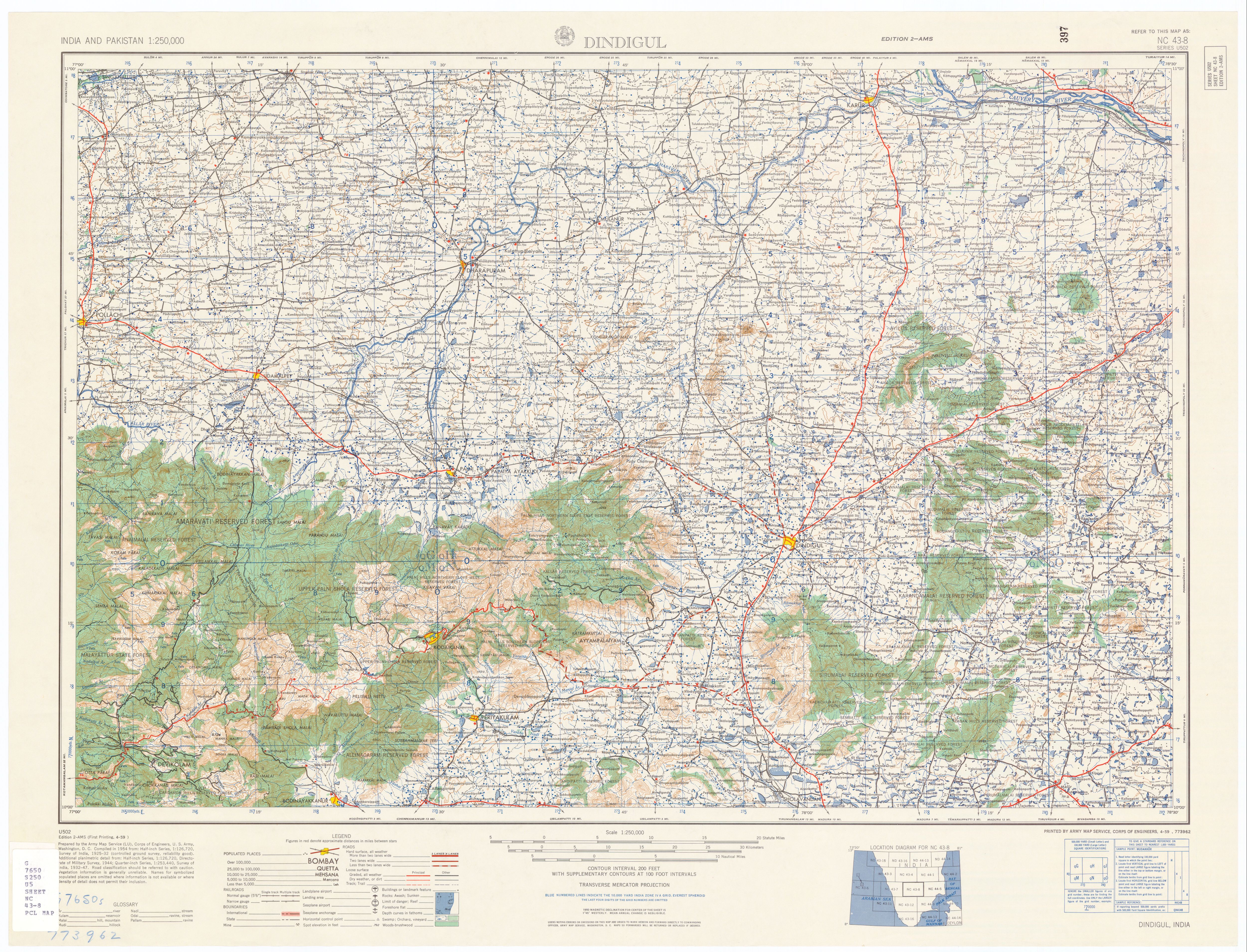
English: Kodaikanal topo map |
| Date | |
| Source | U.S. Army Topographic Command |
| Author | U.S. Army Map Service |
| Permission (Reusing this file) |
Public domain |
| Other versions | http://www.lib.utexas.edu/maps/ams/india/nc-43-08.jpg , http://www.lib.utexas.edu/maps/ams/india/ |
Licensing
This file is a work of a U.S. Army soldier or employee, taken or made as part of that person's official duties. As a work of the U.S. federal government, it is in the public domain in the United States.
|
 |
File history
Click on a date/time to view the file as it appeared at that time.
| Date/Time | Thumbnail | Dimensions | User | Comment | |
|---|---|---|---|---|---|
| current | 05:03, 25 October 2008 | | 1,600 × 1,130 (1.2 MB) | commons>Marcus334 | {{Information |Description={{en|1=Kodaikanal topo map}} |Source=U.S. Army Topographic Command |Author=U.S. Army Map Service |Date=1955 |Permission=Public domain |other_versions=http://www.lib.utexas.edu/maps/ams/india/nc-43-08.jpg , http://www.lib.utexas. |
File usage
There are no pages that use this file.