File:A930-map.png
Jump to navigation
Jump to search

Size of this preview: 610 × 599 pixels. Other resolutions: 244 × 240 pixels | 489 × 480 pixels | 782 × 768 pixels | 1,042 × 1,024 pixels | 2,000 × 1,965 pixels.
Original file (2,000 × 1,965 pixels, file size: 668 KB, MIME type: image/png)
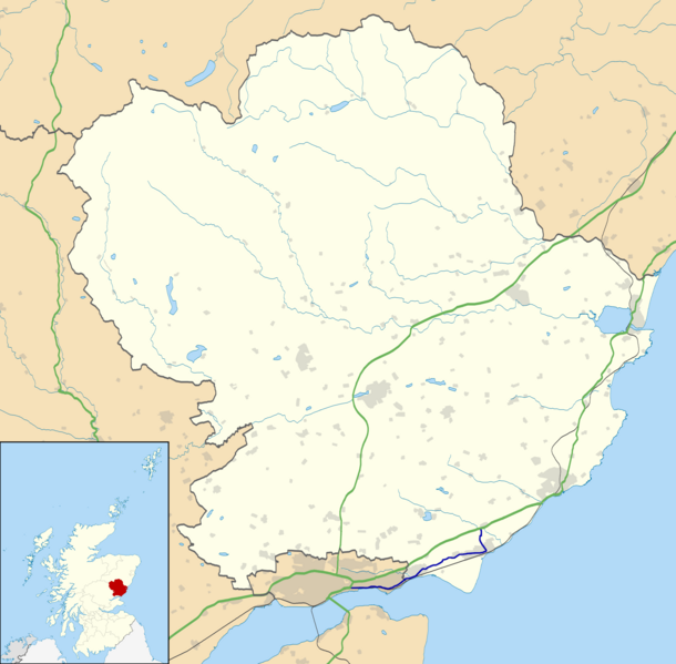
| Description | A930 road map |
| Date | 17.7.14 |
| Source |
|
| Author | Eschenmoser |
| Permission (Reusing this file) |
This file is licensed under the Creative Commons Attribution-Share Alike 3.0 Unported license. Attribution: Contains Ordnance Survey data © Crown copyright and database right
|
File history
Click on a date/time to view the file as it appeared at that time.
| Date/Time | Thumbnail | Dimensions | User | Comment | |
|---|---|---|---|---|---|
| current | 18:29, 17 July 2014 | | 2,000 × 1,965 (668 KB) | commons>Eschenmoser | {{Information |Description=A930 road map |Source=* own work derived from File:Angus UK location map.svg originally uploaded by User:Nilfanion, created using Ordnance Survey data *Ordnance Survey [https://www.ordnancesurve... |
File usage
There are no pages that use this file.