File:607x443-Carte-03-Allier-R.jpg
Jump to navigation
Jump to search
No higher resolution available.
607x443-Carte-03-Allier-R.jpg (607 × 443 pixels, file size: 53 KB, MIME type: image/jpeg)
File history
Click on a date/time to view the file as it appeared at that time.
| Date/Time | Thumbnail | Dimensions | User | Comment | |
|---|---|---|---|---|---|
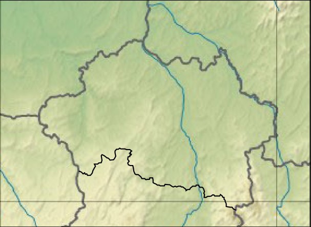
| current | 07:37, 7 May 2011 | | 607 × 443 (53 KB) | commons>Wikisoft* | {{Information |Description=Carte 03 Allier Relief |Source=~~~~ |Date=07/05/2011 |Author={{GFDL-GMT}} |Permission={{CC-BY-SA}} |other_versions=Category:Allier *fr:Modèle:Géolocalisation/Allier }} |
File usage
There are no pages that use this file.