File:36 near Lindsay.png
Jump to navigation
Jump to search

Size of this preview: 800 × 584 pixels. Other resolutions: 320 × 234 pixels | 640 × 467 pixels | 1,024 × 748 pixels | 1,280 × 935 pixels | 2,560 × 1,870 pixels | 3,156 × 2,305 pixels.
Original file (3,156 × 2,305 pixels, file size: 20.85 MB, MIME type: image/png)
File history
Click on a date/time to view the file as it appeared at that time.
| Date/Time | Thumbnail | Dimensions | User | Comment | |
|---|---|---|---|---|---|
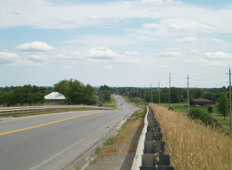
| current | 08:29, 12 December 2011 | | 3,156 × 2,305 (20.85 MB) | commons>SreeBot | (Original text) : {{Information |Description=Highway 36 southbound, east of Lindsay, Ontario. The route ends in the distance at Highway 7 |Source={{own}} |Date=July 24, 2011 |Author=~~~ |Permission= |other_versions= }} |
File usage
There are no pages that use this file.