File:2d Map of Ireland- first Irish postage stamp.jpg
Jump to navigation
Jump to search
No higher resolution available.
2d_Map_of_Ireland-_first_Irish_postage_stamp.jpg (331 × 391 pixels, file size: 31 KB, MIME type: image/jpeg)
File history
Click on a date/time to view the file as it appeared at that time.
| Date/Time | Thumbnail | Dimensions | User | Comment | |
|---|---|---|---|---|---|
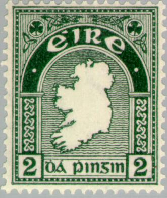
| current | 09:04, 16 August 2007 | | 331 × 391 (31 KB) | commons>Kokin | {{Information |Description={{fr}}Timbre postal 'Carte d'Irlande' publié pour la première fois le 6 décembre 1922{{en}}2d 'Map of Ireland' postage stamp first issued 6 December 1922 |Source=[[http://www.europeanstamps.net/imagedb2/details.asp?id=8694 Eu |
File usage
There are no pages that use this file.