File:2022 Wales Wrexham Ward Whitegate map.svg
Jump to navigation
Jump to search

Size of this PNG preview of this SVG file: 512 × 362 pixels. Other resolutions: 320 × 226 pixels | 640 × 453 pixels | 1,024 × 724 pixels | 1,280 × 905 pixels | 2,560 × 1,810 pixels.
Original file (SVG file, nominally 512 × 362 pixels, file size: 1.96 MB)
Summary
| Description |
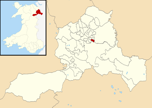
English: Map of the electoral ward of Whitegate in Wrexham County Borough, used for Wrexham County Borough Council elections since 2022. |
| Date | |
| Source |
Own work This vector image includes elements that have been taken or adapted from this file: |
| Author | Dank · Jay |
| Permission (Reusing this file) |
This file is licensed under the Creative Commons Attribution-Share Alike 3.0 Unported license. Attribution: Contains Ordnance Survey data © Crown copyright and database right; © Local Democracy and Boundary Commission for Wales, 2022, licensed under the Open Government Licence
|
_2022.svg)
File history
Click on a date/time to view the file as it appeared at that time.
| Date/Time | Thumbnail | Dimensions | User | Comment | |
|---|---|---|---|---|---|
| current | 00:20, 8 May 2022 | | 512 × 362 (1.96 MB) | commons>DankJae | Uploaded own work with UploadWizard |
File usage
There are no pages that use this file.