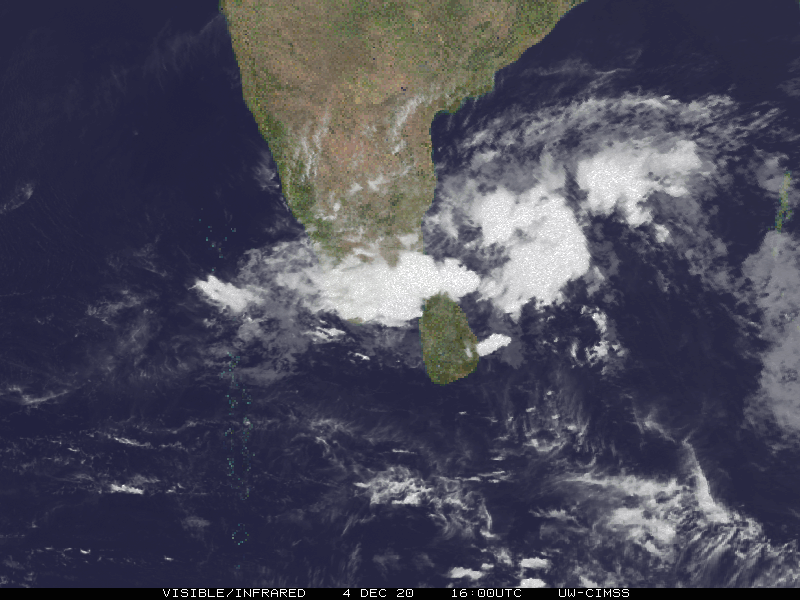
File:2020 CIMSS 05B Burevi visible infrared map.GIF
Jump to navigation
Jump to search
No higher resolution available.
2020_CIMSS_05B_Burevi_visible_infrared_map.GIF (800 × 600 pixels, file size: 3.02 MB, MIME type: image/gif, looped, 12 frames, 2.7 s)
File history
Click on a date/time to view the file as it appeared at that time.
| Date/Time | Thumbnail | Dimensions | User | Comment | |
|---|---|---|---|---|---|
| current | 04:34, 5 December 2020 | | 800 × 600 (3.02 MB) | commons>Cewbot | Import CIMSS tropical cyclone visible infrared map of indian tropical depression Burevi. (2020-12-05 03:00 UTC) |
File usage
There are no pages that use this file.