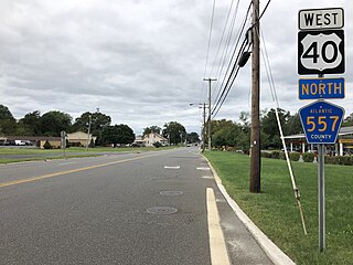
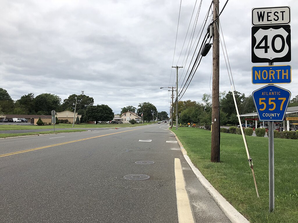
File:2018-09-15 14 32 36 View west along U.S. Route 40 and north along Atlantic County Route 557 (Harding Highway) just northwest of New Jersey State Route 54 (Blue Anchor Road)-Atlantic County Route 619 (Wheat Road) in Buena, Atlantic County, New Jersey.jpg
Jump to navigation
Jump to search

Size of this preview: 800 × 600 pixels. Other resolutions: 320 × 240 pixels | 640 × 480 pixels | 1,024 × 768 pixels | 1,280 × 960 pixels | 2,560 × 1,920 pixels | 4,032 × 3,024 pixels.
Original file (4,032 × 3,024 pixels, file size: 4.07 MB, MIME type: image/jpeg)
_just_northwest_of_New_Jersey_State_Route_54_(Blue_Anchor_Road)-Atlantic_County_Route_619_(Wheat_Road)_in_Buena,_Atlantic_County,_New_Jersey.jpg)
File history
Click on a date/time to view the file as it appeared at that time.
| Date/Time | Thumbnail | Dimensions | User | Comment | |
|---|---|---|---|---|---|
| current | 23:32, 15 September 2018 | | 4,032 × 3,024 (4.07 MB) | commons>Famartin | User created page with UploadWizard |
File usage
There are no pages that use this file.
_just_northwest_of_New_Jersey_State_Route_54_(Blue_Anchor_Road)-Atlantic_County_Route_619_(Wheat_Road)_in_Buena,_Atlantic_County,_New_Jersey.jpg)