File:1897 Brooklyn map.jpg
Jump to navigation
Jump to search
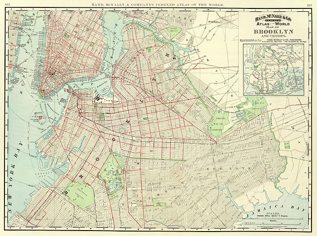
Size of this preview: 800 × 597 pixels. Other resolutions: 320 × 239 pixels | 640 × 477 pixels | 1,024 × 764 pixels | 1,280 × 955 pixels | 2,560 × 1,910 pixels | 4,134 × 3,084 pixels.
Original file (4,134 × 3,084 pixels, file size: 4.48 MB, MIME type: image/jpeg)
File history
Click on a date/time to view the file as it appeared at that time.
| Date/Time | Thumbnail | Dimensions | User | Comment | |
|---|---|---|---|---|---|
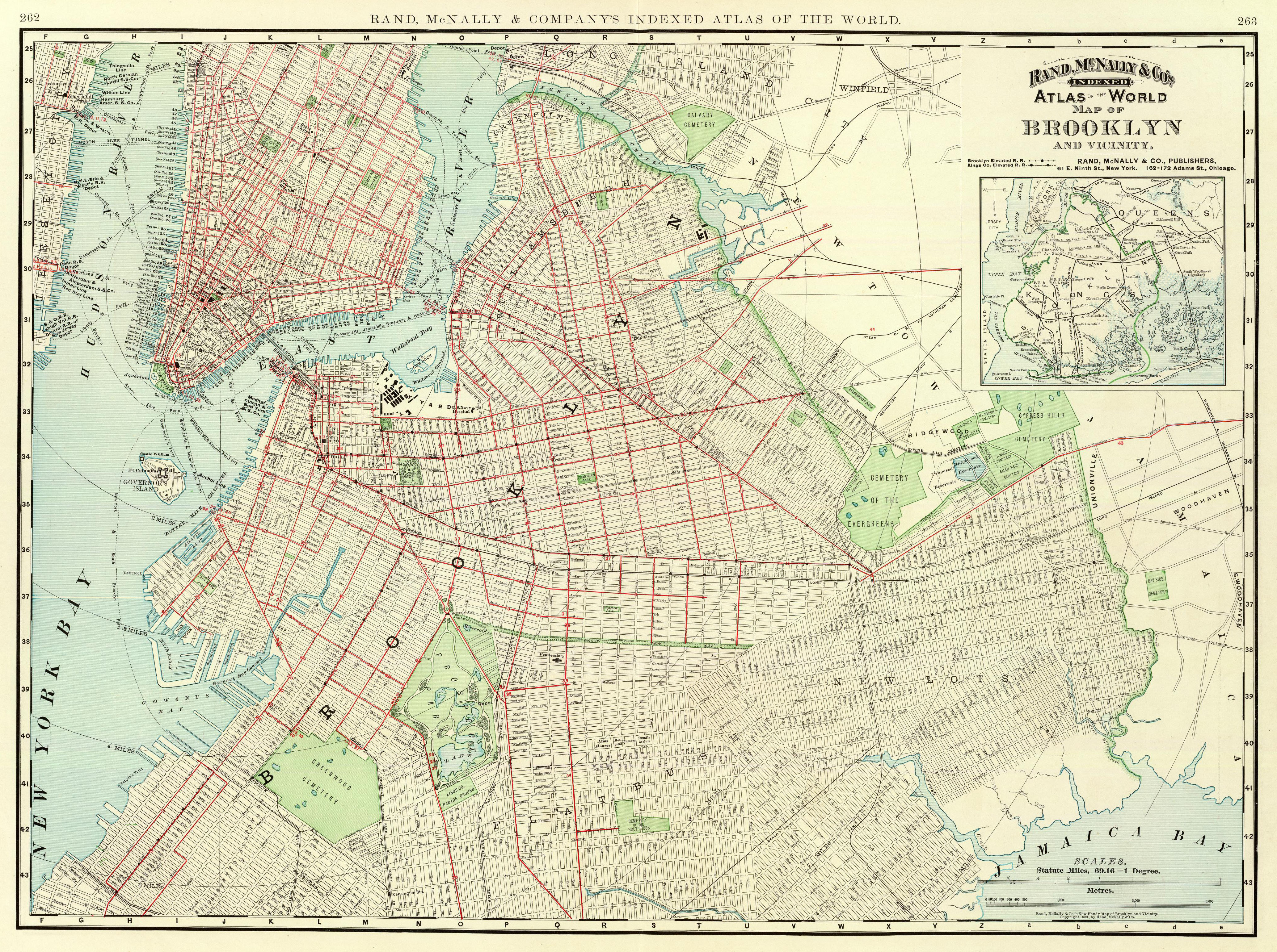
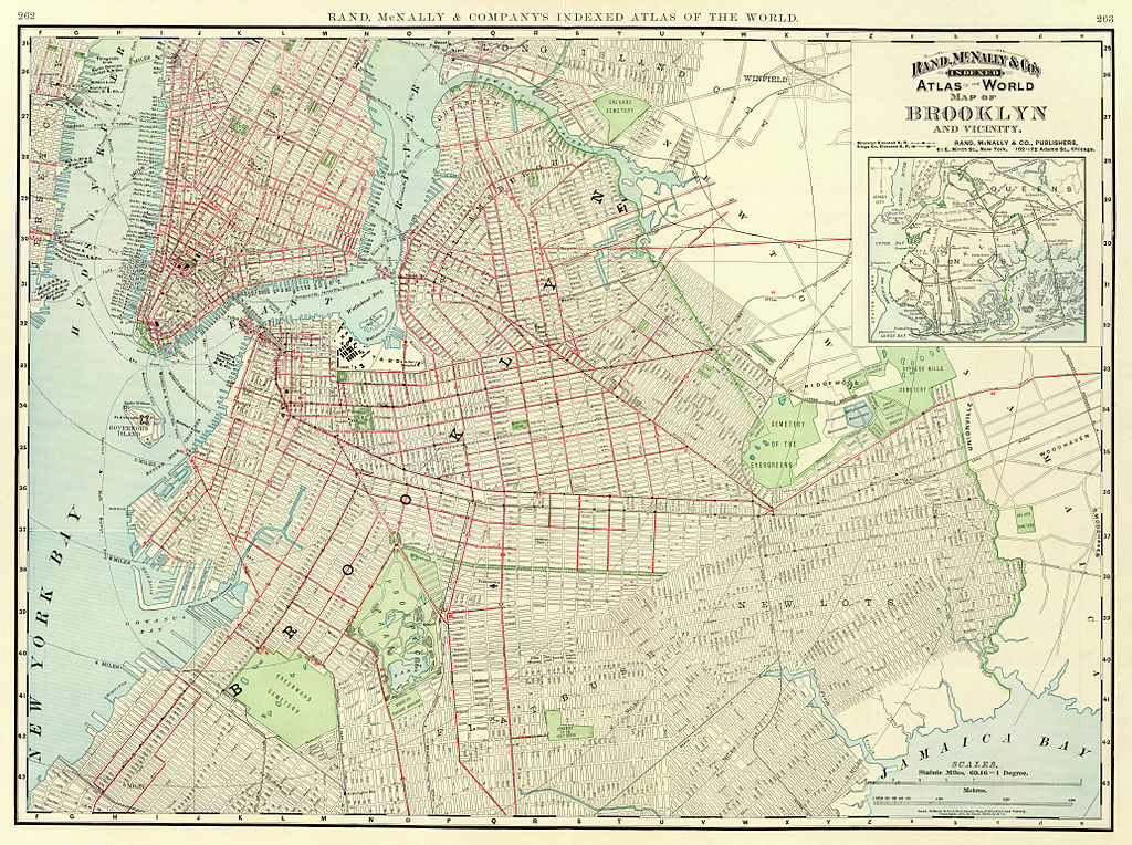
| current | 21:12, 24 December 2006 | | 4,134 × 3,084 (4.48 MB) | commons>NE2 | This is a map of Brooklyn and vicinity published by Rand McNally in 1897 as part of their Atlas of the World. The [http://www.davidrumsey.com/ David Rumsey Collection] scanned it. Category:Maps Category:Brooklyn |
File usage
There are no pages that use this file.