File:1884 map.jpg
Jump to navigation
Jump to search
Size of this preview: 393 × 599 pixels. Other resolutions: 157 × 240 pixels | 315 × 480 pixels | 504 × 768 pixels | 672 × 1,024 pixels | 1,344 × 2,048 pixels | 2,699 × 4,111 pixels.
Original file (2,699 × 4,111 pixels, file size: 2.94 MB, MIME type: image/jpeg)
File history
Click on a date/time to view the file as it appeared at that time.
| Date/Time | Thumbnail | Dimensions | User | Comment | |
|---|---|---|---|---|---|
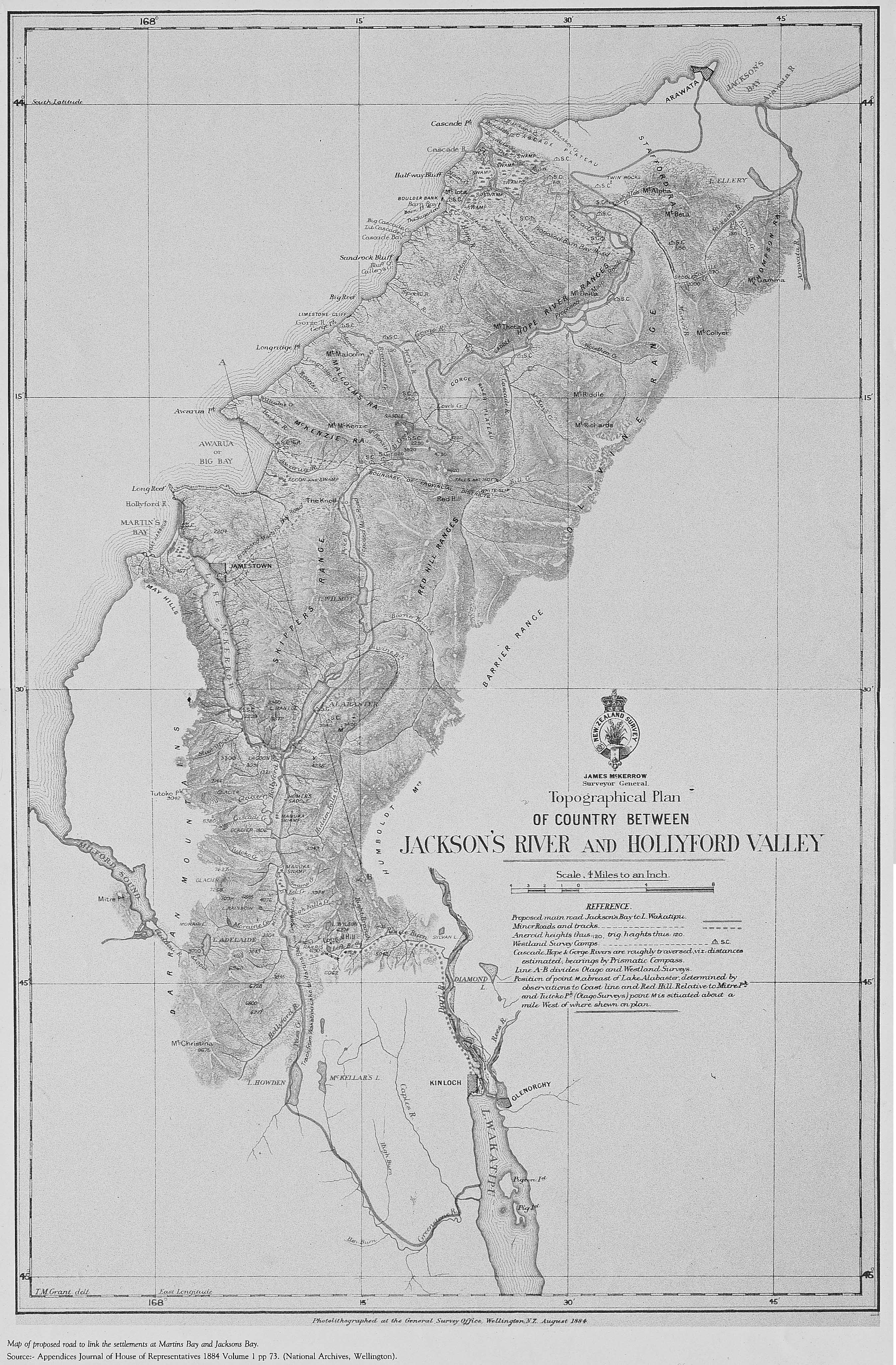
| current | 04:54, 7 October 2010 | | 2,699 × 4,111 (2.94 MB) | commons>Piopiotahi | {{Information |Description={{en|1={{Information |Description= {{Photolithographed at the General Survey Office, Wellington NZ August 1884 Map of the proposed road to link the settlements of Martins Bay and Jacksons Bay.}} … |own=… }}}} |Source=own wo |
File usage
There are no pages that use this file.