File:1882 map of Long Island Railroad.jpg
Jump to navigation
Jump to search
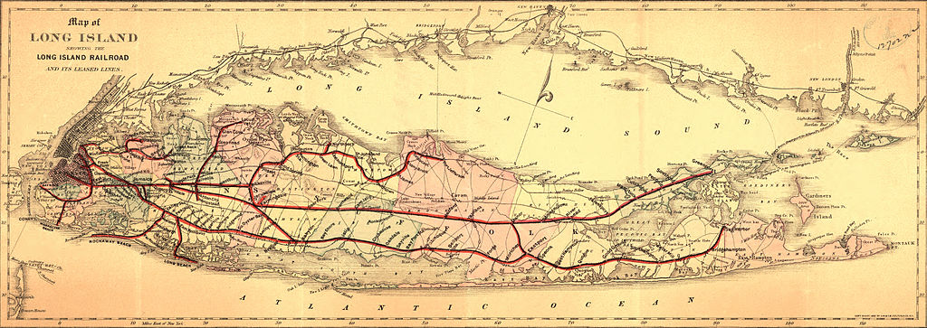
Size of this preview: 800 × 284 pixels. Other resolutions: 320 × 113 pixels | 640 × 227 pixels | 1,024 × 363 pixels | 1,280 × 454 pixels | 2,560 × 908 pixels | 6,294 × 2,232 pixels.
Original file (6,294 × 2,232 pixels, file size: 4.15 MB, MIME type: image/jpeg)
File history
Click on a date/time to view the file as it appeared at that time.
| Date/Time | Thumbnail | Dimensions | User | Comment | |
|---|---|---|---|---|---|
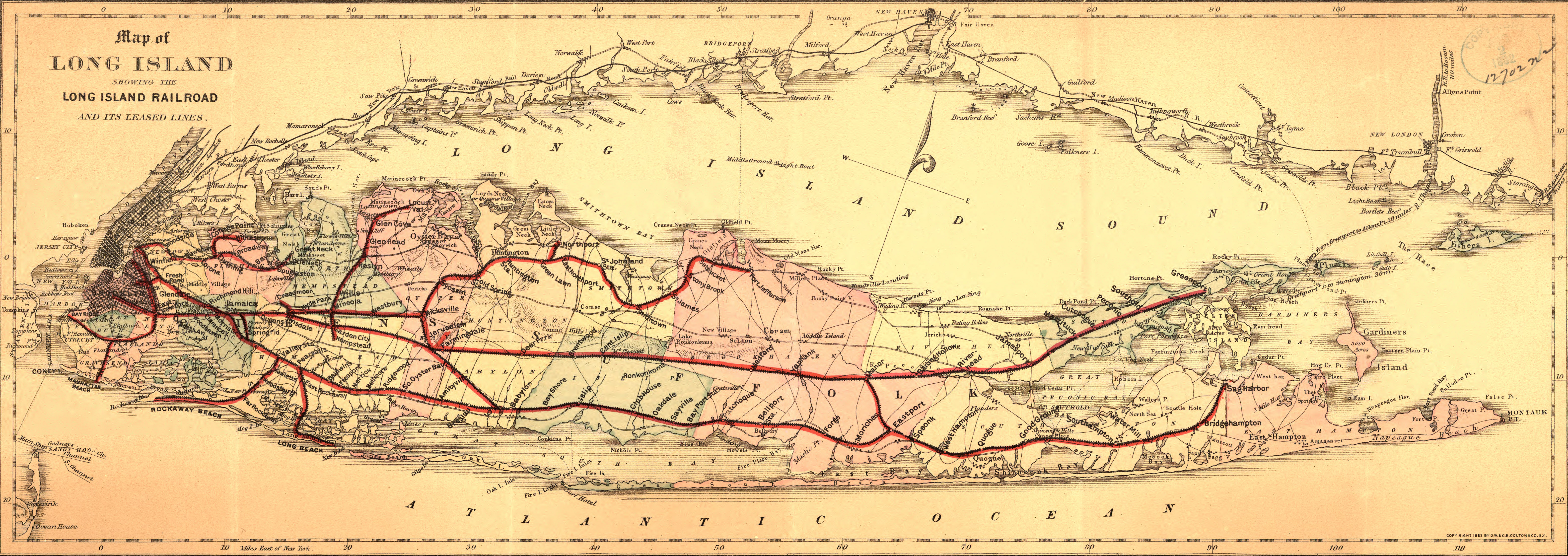
| current | 22:25, 21 May 2011 | 6,294 × 2,232 (4.15 MB) | commons>BurtAlert | {{Information |Description ={{en|1=Map of Long Island showing the Long Island Railroad and its leased lines. Also shows drainage, cities and towns, township and county boundaries, and the railroad network.}} |Source ={{LOC-map|id=g3802l.rr00447 |
File usage
There are no pages that use this file.