File:1880 Boston railroads map.jpg
Jump to navigation
Jump to search

Size of this preview: 596 × 599 pixels. Other resolutions: 239 × 240 pixels | 478 × 480 pixels | 764 × 768 pixels | 1,019 × 1,024 pixels | 1,546 × 1,554 pixels.
Original file (1,546 × 1,554 pixels, file size: 654 KB, MIME type: image/jpeg)
File history
Click on a date/time to view the file as it appeared at that time.
| Date/Time | Thumbnail | Dimensions | User | Comment | |
|---|---|---|---|---|---|
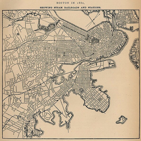
| current | 19:39, 30 September 2006 | | 1,546 × 1,554 (654 KB) | commons>Beland | Map of Boston in 1880, highlighting railroads and railroad stations. * Source: http://www.lib.utexas.edu/maps/historical/boston_railroad_1880.jpg * License: Public domain according to http://www.lib.utexas.edu/usage_statement.html?maps=yes |
File usage
There are no pages that use this file.