File:1870 TempleSt Boston map byFFuchs JohnWeik detail.png
Jump to navigation
Jump to search
Size of this preview: 800 × 377 pixels. Other resolutions: 320 × 151 pixels | 1,016 × 479 pixels.
Original file (1,016 × 479 pixels, file size: 923 KB, MIME type: image/png)
File history
Click on a date/time to view the file as it appeared at that time.
| Date/Time | Thumbnail | Dimensions | User | Comment | |
|---|---|---|---|---|---|
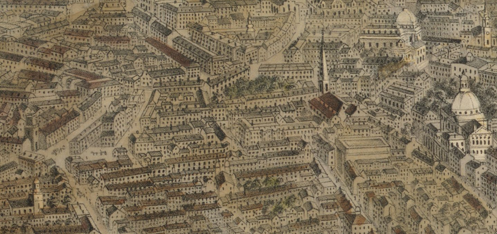
| current | 10:18, 5 July 2010 | | 1,016 × 479 (923 KB) | commons>M2545 | {{Information |Description=View of Temple St., Pemberton Square, Mass. State House, West Church, etc. Detail of: Map of Boston, Massachusetts, July 4, 1870. By F. Fuchs; published by John Weik. |Source=Boston Public Library. http://maps.bpl.org/details_10 |
File usage
There are no pages that use this file.