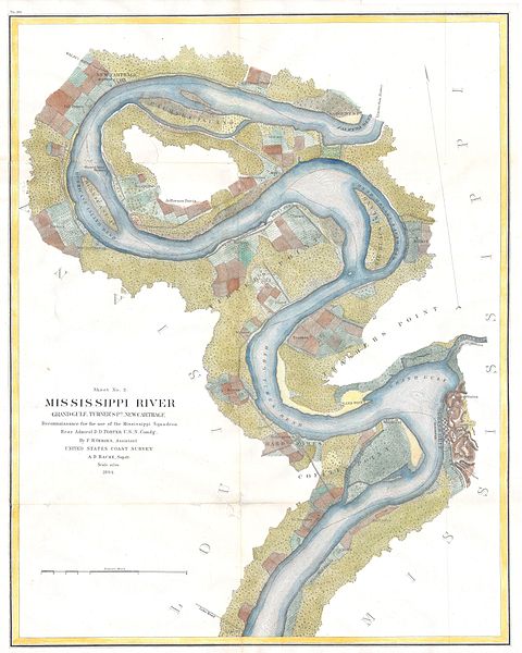
File:1864 U.S.C.S. Chart of the Mississippi River Grand Gulf to New Carthage (Jefferson Davis Plantation) - Geographicus - MissRive2Col-USCS-1864.jpg
Jump to navigation
Jump to search

Size of this preview: 480 × 600 pixels. Other resolutions: 192 × 240 pixels | 384 × 480 pixels | 614 × 768 pixels | 819 × 1,024 pixels | 1,638 × 2,048 pixels | 3,200 × 4,000 pixels.
Original file (3,200 × 4,000 pixels, file size: 2.3 MB, MIME type: image/jpeg)
_-_Geographicus_-_MissRive2Col-USCS-1864.jpg)
File history
Click on a date/time to view the file as it appeared at that time.
| Date/Time | Thumbnail | Dimensions | User | Comment | |
|---|---|---|---|---|---|
| current | 14:13, 24 March 2011 | | 3,200 × 4,000 (2.3 MB) | commons>BotMultichillT | {{subst:User:Multichill/Geographicus |link=http://www.geographicus.com/P/AntiqueMap/MissRive2Col-USCS-1864 |product_name=1864 U.S.C.S. Chart of the Mississippi River Grand Gulf to New Carthage (Jefferson Davis Plantation) |map_title=Mississippi River Gran |
File usage
There are no pages that use this file.
_-_Geographicus_-_MissRive2Col-USCS-1864.jpg)