File:1857 U.S. Coast Survey Map or Chart of the Entrance to the York River, Virginia - Geographicus - YorkRiver-uscs-1857.jpg
Jump to navigation
Jump to search

Size of this preview: 790 × 600 pixels. Other resolutions: 316 × 240 pixels | 633 × 480 pixels | 1,012 × 768 pixels | 1,280 × 972 pixels | 2,560 × 1,943 pixels | 3,000 × 2,277 pixels.
Original file (3,000 × 2,277 pixels, file size: 1.31 MB, MIME type: image/jpeg)
File history
Click on a date/time to view the file as it appeared at that time.
| Date/Time | Thumbnail | Dimensions | User | Comment | |
|---|---|---|---|---|---|
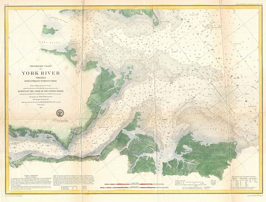
| current | 00:07, 24 March 2011 | | 3,000 × 2,277 (1.31 MB) | commons>BotMultichillT | {{subst:User:Multichill/Geographicus |link=http://www.geographicus.com/P/AntiqueMap/YorkRiver-uscs-1857 |product_name=1857 U.S. Coast Survey Map or Chart of the Entrance to the York River, Virginiaq |map_title=Preliminary Chart of York River Virginia from |
File usage
There are no pages that use this file.