File:1857 Map of Albany Edit.jpeg
Jump to navigation
Jump to search
Size of this preview: 459 × 600 pixels. Other resolutions: 184 × 240 pixels | 367 × 480 pixels | 588 × 768 pixels | 783 × 1,024 pixels | 1,567 × 2,048 pixels | 2,955 × 3,862 pixels.
Original file (2,955 × 3,862 pixels, file size: 7.8 MB, MIME type: image/jpeg)
File history
Click on a date/time to view the file as it appeared at that time.
| Date/Time | Thumbnail | Dimensions | User | Comment | |
|---|---|---|---|---|---|
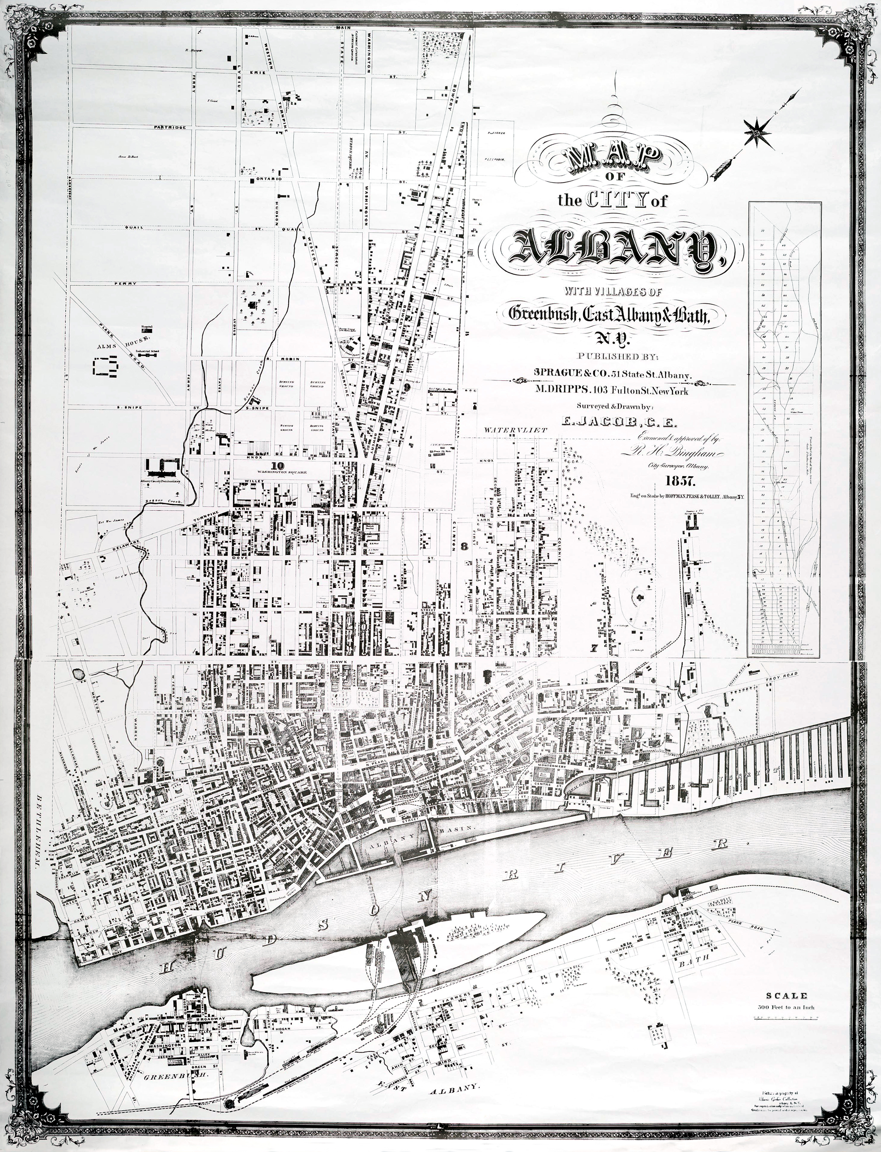
| current | 01:59, 2 June 2010 | | 2,955 × 3,862 (7.8 MB) | commons>MattWade | ==Summary== {{Information |Description={{en|1=Map of Albany, New York, United States printed in 1857}} |Source=*File:1857_Map_of_Albany.jpeg |Date=2010-06-02 01:57 (UTC) |Author=*[[:Fil |
File usage
There are no pages that use this file.