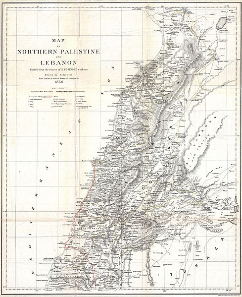
File:1856 Kiepert Map of Lebanon - Geographicus - Lebanon-kiepert-1856.jpg
Jump to navigation
Jump to search

Size of this preview: 489 × 599 pixels. Other resolutions: 196 × 240 pixels | 392 × 480 pixels | 627 × 768 pixels | 836 × 1,024 pixels | 1,672 × 2,048 pixels | 3,000 × 3,675 pixels.
Original file (3,000 × 3,675 pixels, file size: 2.45 MB, MIME type: image/jpeg)
File history
Click on a date/time to view the file as it appeared at that time.
| Date/Time | Thumbnail | Dimensions | User | Comment | |
|---|---|---|---|---|---|
| current | 22:16, 24 March 2011 | | 3,000 × 3,675 (2.45 MB) | commons>BotMultichillT | {{subst:User:Multichill/Geographicus |link=http://www.geographicus.com/P/AntiqueMap/Lebanon-kiepert-1856 |product_name=1856 Kiepert Map of Lebanon |map_title=Map of Northern Palestine and Lebanon Chiefly from the Routes of E. Robinson & others. |descripti |
File usage
There are no pages that use this file.