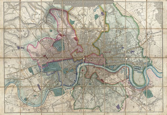
File:1852 Davies Case Map or Pocket Map of London, England - Geographicus - London-davies-1852.jpg
Jump to navigation
Jump to search

Size of this preview: 800 × 553 pixels. Other resolutions: 320 × 221 pixels | 640 × 442 pixels | 1,024 × 707 pixels | 1,280 × 884 pixels | 2,560 × 1,769 pixels | 6,000 × 4,145 pixels.
Original file (6,000 × 4,145 pixels, file size: 8.79 MB, MIME type: image/jpeg)
File history
Click on a date/time to view the file as it appeared at that time.
| Date/Time | Thumbnail | Dimensions | User | Comment | |
|---|---|---|---|---|---|
| current | 16:46, 23 March 2011 | | 6,000 × 4,145 (8.79 MB) | commons>BotMultichillT | {{subst:User:Multichill/Geographicus |link=http://www.geographicus.com/P/AntiqueMap/London-davies-1852 |product_name=1852 Davies Case Map or Pocket Map of London, England |map_title=Davies's New Map of the British Metropolis, The Boundaries of the Borough |
File usage
There are no pages that use this file.