File:1814ThompsonMap.jpg
Jump to navigation
Jump to search
Size of this preview: 800 × 516 pixels. Other resolutions: 320 × 206 pixels | 640 × 413 pixels | 1,024 × 661 pixels | 1,280 × 826 pixels | 2,560 × 1,651 pixels | 4,020 × 2,593 pixels.
Original file (4,020 × 2,593 pixels, file size: 3.83 MB, MIME type: image/jpeg)
File history
Click on a date/time to view the file as it appeared at that time.
| Date/Time | Thumbnail | Dimensions | User | Comment | |
|---|---|---|---|---|---|
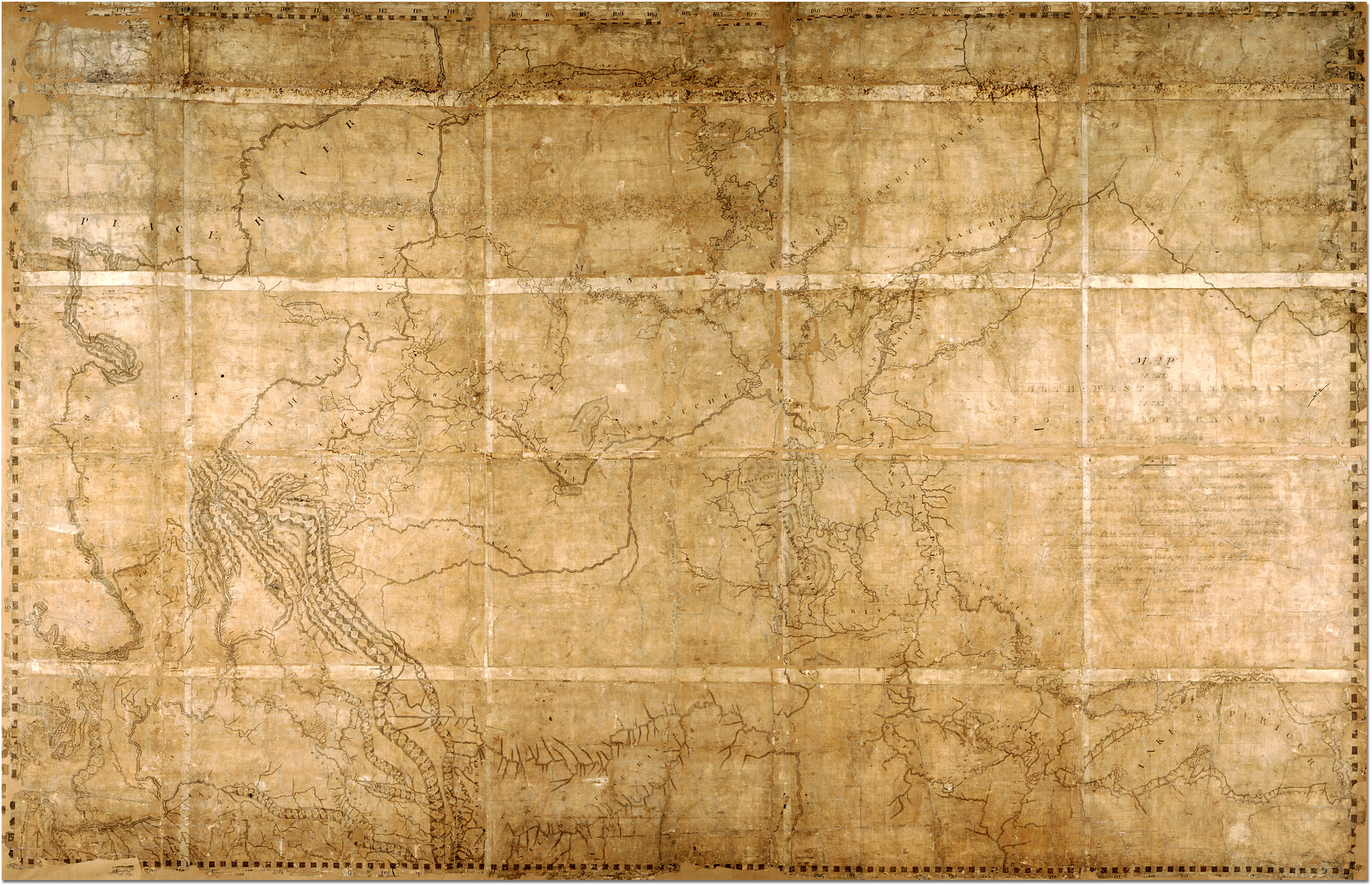
| current | 21:41, 7 February 2007 | | 4,020 × 2,593 (3.83 MB) | commons>Ccscott~commonswiki | Map of the North-West Territory of the Province of Canada by David Thompson, 1814 Reference Code: F 443, R-C(U), AO 1541 Archives of Ontario, I0012850 Image URL: http://www.archives.gov.on.ca/english/interloan/big/thompson_mapa.htm Map is in the public d |
File usage
There are no pages that use this file.