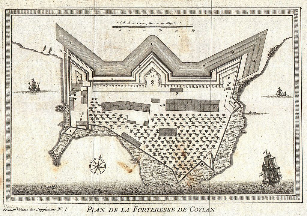
File:1756 Bellin Map of Kollam Fort, Kerala, India - Geographicus - Coylan-bellin-1756.jpg
Jump to navigation
Jump to search

Size of this preview: 800 × 562 pixels. Other resolutions: 320 × 225 pixels | 640 × 450 pixels | 1,024 × 720 pixels | 1,280 × 900 pixels | 2,560 × 1,800 pixels | 3,000 × 2,109 pixels.
Original file (3,000 × 2,109 pixels, file size: 2.09 MB, MIME type: image/jpeg)
File history
Click on a date/time to view the file as it appeared at that time.
| Date/Time | Thumbnail | Dimensions | User | Comment | |
|---|---|---|---|---|---|
| current | 09:04, 19 March 2011 | | 3,000 × 2,109 (2.09 MB) | commons>BotMultichill | {{subst:User:Multichill/Geographicus |link=http://www.geographicus.com/P/AntiqueMap/Coylan-bellin-1756 |product_name=1756 Bellin Map of Kollam Fort, Kerala, India |map_title=Plan de la Forteresse de Coylan. |description=This is a rare 1756 map of the fort |
File usage
There are no pages that use this file.