File:1747 La Feuille Map of England - Geographicus - England-ratelband-1747.jpg
Jump to navigation
Jump to search

Size of this preview: 800 × 550 pixels. Other resolutions: 320 × 220 pixels | 640 × 440 pixels | 1,024 × 704 pixels | 1,280 × 880 pixels | 2,560 × 1,759 pixels | 3,046 × 2,093 pixels.
Original file (3,046 × 2,093 pixels, file size: 2.31 MB, MIME type: image/jpeg)
File history
Click on a date/time to view the file as it appeared at that time.
| Date/Time | Thumbnail | Dimensions | User | Comment | |
|---|---|---|---|---|---|
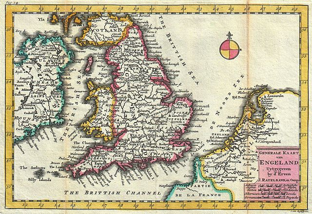
| current | 09:21, 18 March 2011 | | 3,046 × 2,093 (2.31 MB) | commons>BotMultichill | {{subst:User:Multichill/Geographicus |link=http://www.geographicus.com/P/AntiqueMap/England-ratelband-1747 |product_name=1747 La Feuille Map of England |map_title=Generale Kaart van Engeland. |description=A stunning map of England first drawn by Daniel d |
File usage
There are no pages that use this file.