File:1658 Jansson Map of the Indian Ocean (Erythrean Sea) in Antiquity - Geographicus - ErythraeanSea-jansson-1658.jpg
Jump to navigation
Jump to search

Size of this preview: 715 × 600 pixels. Other resolutions: 286 × 240 pixels | 572 × 480 pixels | 916 × 768 pixels | 1,221 × 1,024 pixels | 2,442 × 2,048 pixels | 5,000 × 4,194 pixels.
Original file (5,000 × 4,194 pixels, file size: 6.03 MB, MIME type: image/jpeg)
_in_Antiquity_-_Geographicus_-_ErythraeanSea-jansson-1658.jpg)
File history
Click on a date/time to view the file as it appeared at that time.
| Date/Time | Thumbnail | Dimensions | User | Comment | |
|---|---|---|---|---|---|
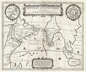
| current | 20:58, 23 March 2011 | | 5,000 × 4,194 (6.03 MB) | commons>BotMultichillT | {{subst:User:Multichill/Geographicus |link=http://www.geographicus.com/P/AntiqueMap/ErythraeanSea-jansson-1658 |product_name=1658 Jansson Map of the Indian Ocean (Erythrean Sea) in Antiquity |map_title=Erythraei Sive Rubri Maris Periplus. |description=An |
File usage
There are no pages that use this file.
_in_Antiquity_-_Geographicus_-_ErythraeanSea-jansson-1658.jpg)