File:1630 Hondius Map of Virginia and the Chesapeake - Geographicus - NovaVirginiaeTabula-hondius-1630.jpg
Jump to navigation
Jump to search
Size of this preview: 770 × 600 pixels. Other resolutions: 308 × 240 pixels | 616 × 480 pixels | 986 × 768 pixels | 1,280 × 997 pixels | 2,560 × 1,994 pixels | 4,000 × 3,116 pixels.
Original file (4,000 × 3,116 pixels, file size: 4.23 MB, MIME type: image/jpeg)
File history
Click on a date/time to view the file as it appeared at that time.
| Date/Time | Thumbnail | Dimensions | User | Comment | |
|---|---|---|---|---|---|
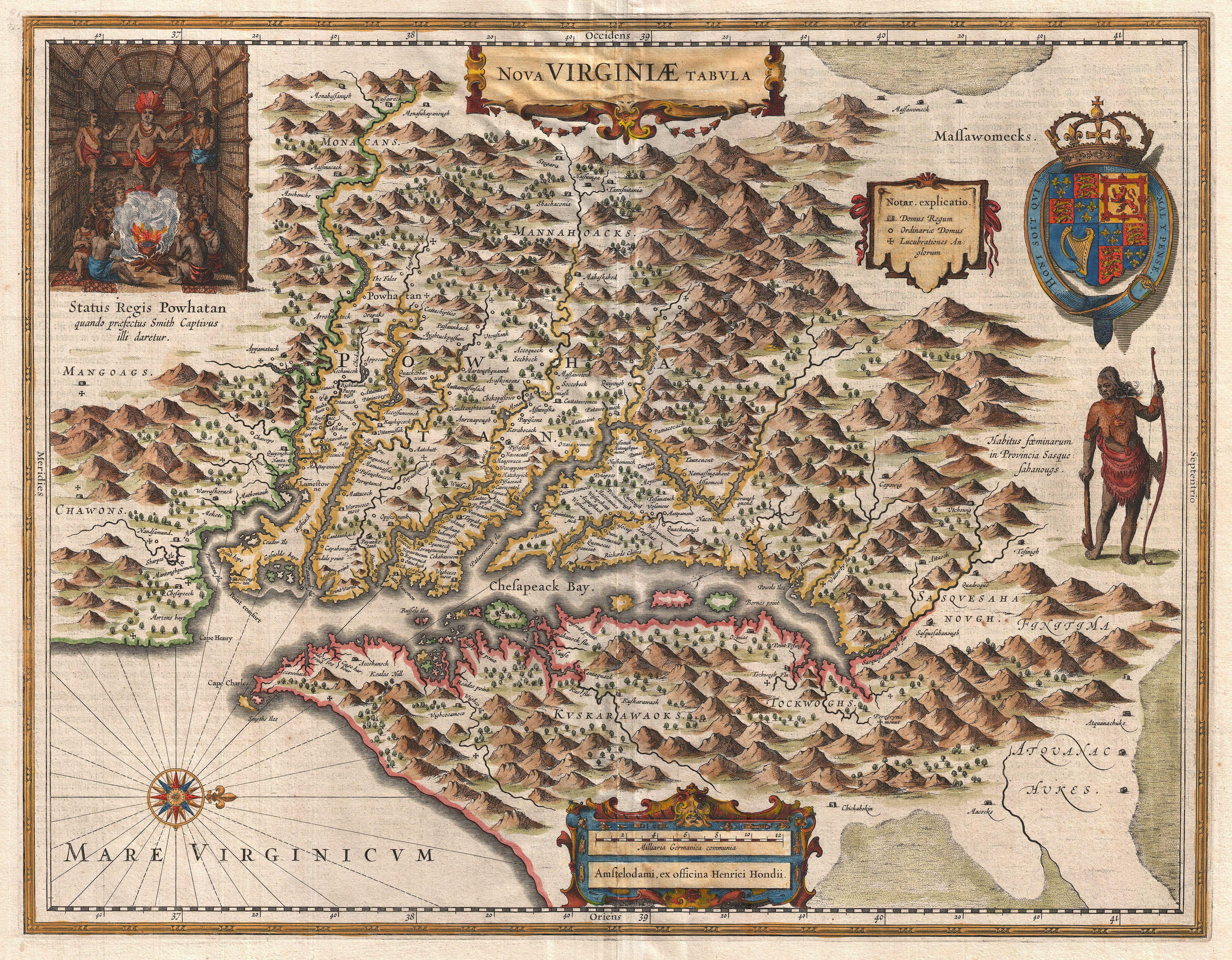
| current | 07:58, 25 March 2011 | | 4,000 × 3,116 (4.23 MB) | commons>BotMultichillT | {{subst:User:Multichill/Geographicus |link=http://www.geographicus.com/P/AntiqueMap/NovaVirginiaeTabula-hondius-1630 |product_name=1630 Hondius Map of Virginia and the Chesapeake |map_title=Nova Virginiae Tabula. |description=A very fine example of Henric |
File usage
There are no pages that use this file.