File:14-Intercos2019-200068799.png
Jump to navigation
Jump to search

Size of this preview: 800 × 564 pixels. Other resolutions: 320 × 226 pixels | 640 × 451 pixels | 1,024 × 722 pixels | 1,280 × 902 pixels | 2,560 × 1,804 pixels | 3,519 × 2,480 pixels.
Original file (3,519 × 2,480 pixels, file size: 3.52 MB, MIME type: image/png)
File history
Click on a date/time to view the file as it appeared at that time.
| Date/Time | Thumbnail | Dimensions | User | Comment | |
|---|---|---|---|---|---|
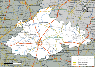
| current | 13:02, 12 September 2019 | | 3,519 × 2,480 (3.52 MB) | commons>Roland45 | {{Information |description={{fr|1=Carte géographique de la Communauté de communes Intercom de la Vire au Noireau, département du Calvados, France. Composition au 1er janvier 2019.}} |date=2019-09-12 |source={{own}} à partir des jeux de données : * Découpage administratif communal et départemental : [https://www.data.gouv.fr/fr/datasets/decoupage-administratif-communal-francais-issu-d-openstreetmap/ Export simple de janvier 2019 - vérifié et simplifié à 5 m] sur le site du [https://www.data.go... |
File usage
There are no pages that use this file.