File:02567jfBarangays Progeso Rivera San Juan River Bridge Welcome Arch Cityfvf 18.jpg
Jump to navigation
Jump to search
Size of this preview: 800 × 600 pixels. Other resolutions: 320 × 240 pixels | 640 × 480 pixels | 1,024 × 768 pixels | 1,280 × 960 pixels | 2,560 × 1,920 pixels | 4,608 × 3,456 pixels.
Original file (4,608 × 3,456 pixels, file size: 6.75 MB, MIME type: image/jpeg)
Summary
| Description |
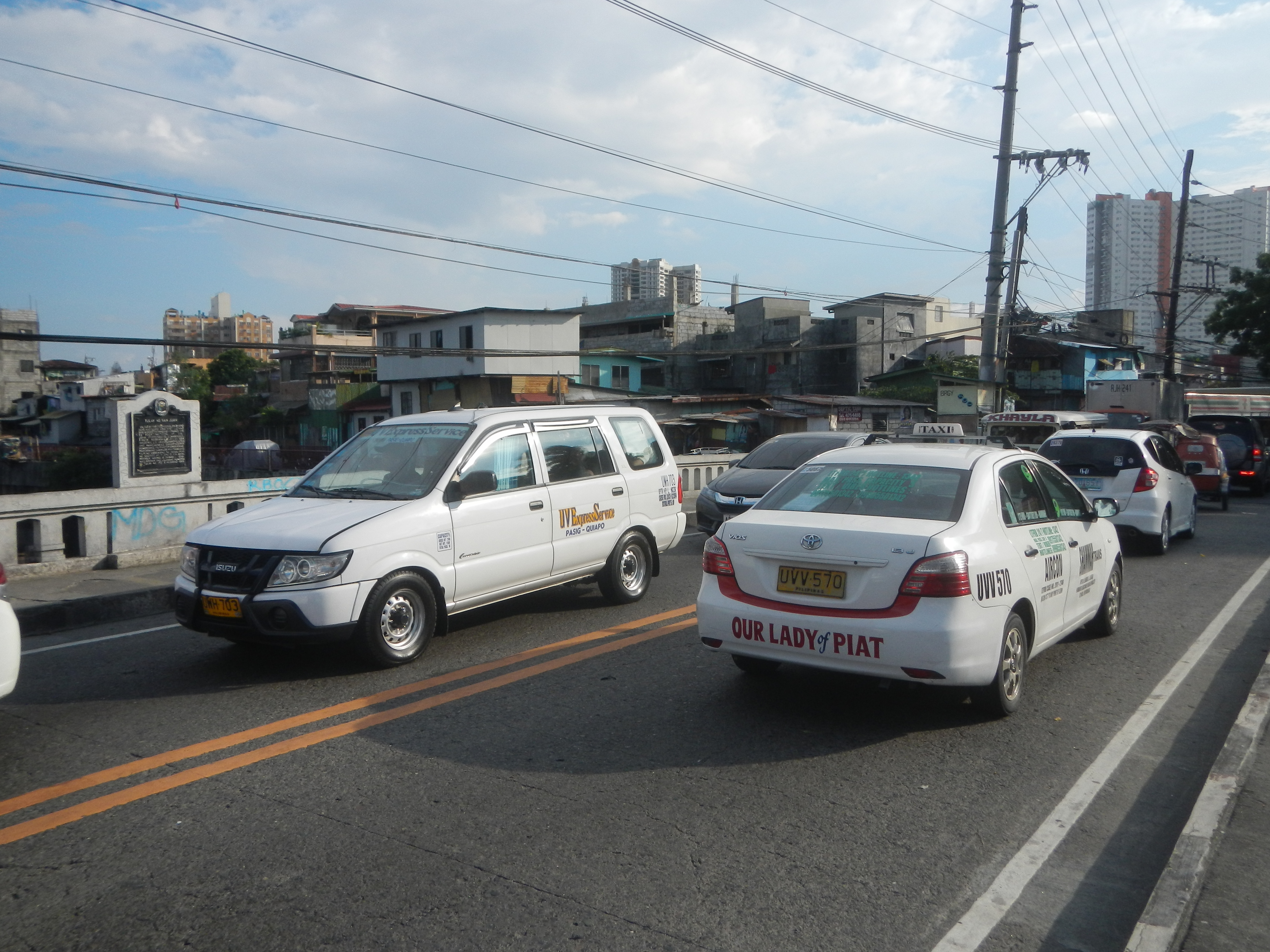
English: List of barangays of Metro Manila, Legislative district of San Juan-Mandaluyong Legislative district of San Juan, Metro Manila Barangay Rivera 14°36'18"N 121°1'17"E beside Progreso 4°36'11"N 121°1'14"E San Juan, Metro Manila San Juan River Bridge (Manila) San Juan-Santa Mesa Boundary Bridge 14°36'15"N 121°1'12"E N. Domingo Street 14°36'39"N 121°2'0"E F. Blumentritt Street 14°35'55"N 121°1'45"E Major roads in Metro Manila Battle of San Juan del Monte Battle of Manila (1899) San Juan River Bridge Old Santa Mesa Bridge 14°36'5"N 121°1'13"E San Juan del Monte Bridge or Tulay ng San Juan, List of rivers and estuaries in Metro Manila San Juan River (Metro Manila) January 29, 1899, Colonel Luciano San Miguel and Colonel John M. Stotsenburg, Commander First Nebraska Volunteer Infantry U.S. Army Philippine-American War in Sociego and Silencio, Santa Mesa, Manila February 4, 1899, February 5, 1899 beside or bounded by the List of barangays of Metro Manila Barangays 588, 589, Zone 58, 597, 598, 599, Zone 59, District VI, Santa Mesa has 49 barangays (Barangays 587-636) (Note: Judge Florentino Floro, the owner, to repeat, Donor Florentino Floro of all these photos hereby donate gratuitously, freely and unconditionally all these photos to and for Wikimedia Commons, exclusively, for public use of the public domain, and again without any condition whatsoever). |
| Date | |
| Source | Own work |
| Author | Judgefloro |
| Other versions |
.jpg)
| Camera location | | View this and other nearby images on: OpenStreetMap |
|---|
San Juan-Santa Mesa Boundary Bridge 14°36'15"N 121°1'12"E
Licensing
| I, the copyright holder of this work, release this work into the public domain. This applies worldwide. In some countries this may not be legally possible; if so: I grant anyone the right to use this work for any purpose, without any conditions, unless such conditions are required by law. |
File history
Click on a date/time to view the file as it appeared at that time.
| Date/Time | Thumbnail | Dimensions | User | Comment | |
|---|---|---|---|---|---|
| current | 16:51, 22 October 2016 | | 4,608 × 3,456 (6.75 MB) | commons>Judgefloro | User created page with UploadWizard |
File usage
There are no pages that use this file.