File:Орусъярви, озеро Мюллюлампи сверху.jpg
Jump to navigation
Jump to search

Size of this preview: 800 × 599 pixels. Other resolutions: 320 × 240 pixels | 640 × 479 pixels | 1,024 × 767 pixels | 1,280 × 959 pixels | 2,560 × 1,917 pixels | 5,272 × 3,948 pixels.
Original file (5,272 × 3,948 pixels, file size: 3.53 MB, MIME type: image/jpeg)
Summary
| Description |
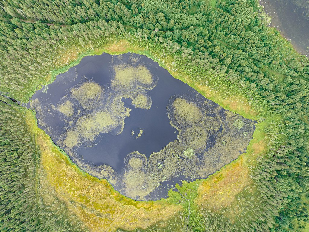
Русский: Озеро Мюллюлампи, снятое с воздуха. Орусъярви, Питкярантский район, Карелия, Россия.
English: Myllylampi lake photographed from above. Orusjärvi, Pitkyarantsky District, Karelia, Russia. |
||||||||||||||||||||
| Date | |||||||||||||||||||||
| Source | Own work | ||||||||||||||||||||
| Author |
|
||||||||||||||||||||
_017.jpg)
| Camera location | | View this and other nearby images on: OpenStreetMap |
|---|
This mediafile was generated using equipment from North-West Russia Wiki-Historians User Group thanks to a Wikimedia Foundation Rapid Grant.
|
Assessment
|
Licensing
I, the copyright holder of this work, hereby publish it under the following license:
This file is licensed under the Creative Commons Attribution-Share Alike 4.0 International license.
- You are free:
- to share – to copy, distribute and transmit the work
- to remix – to adapt the work
- Under the following conditions:
- attribution – You must give appropriate credit, provide a link to the license, and indicate if changes were made. You may do so in any reasonable manner, but not in any way that suggests the licensor endorses you or your use.
- share alike – If you remix, transform, or build upon the material, you must distribute your contributions under the same or compatible license as the original.
File history
Click on a date/time to view the file as it appeared at that time.
| Date/Time | Thumbnail | Dimensions | User | Comment | |
|---|---|---|---|---|---|
| current | 07:05, 11 August 2022 | | 5,272 × 3,948 (3.53 MB) | commons>Красный | Uploaded own work with UploadWizard |
File usage
There are no pages that use this file.