Long Island (Maryland)
Jump to navigation
Jump to search
 Map of Long Island and Holland Island from a 1927 Topographic Map | |
 | |
| Geography | |
|---|---|
| Location | Chesapeake Bay |
| Coordinates | 38°08′10″N 76°05′56″W / 38.136°N 76.099°W |
| Administration | |
United States | |
| State | Maryland |
| Demographics | |
| Population | 0 |
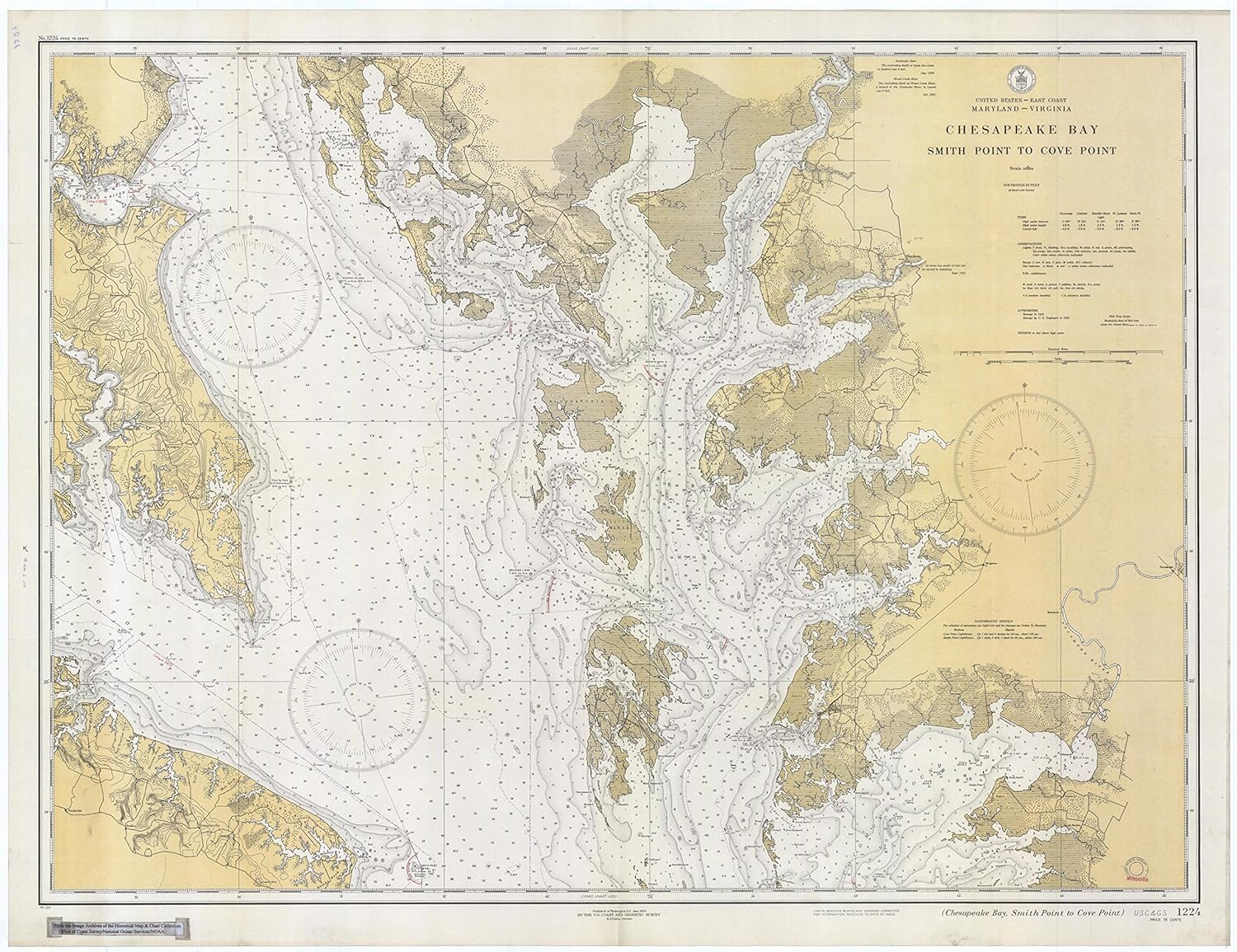
Long Island was an island located in Chesapeake Bay, northwest of another former island, Holland Island. The island was shown on maps up until near 1934,[1] when erosion of nearby islands combined with the rising sea levels caused it to be submerged.
References
Categories:
- Pages using gadget WikiMiniAtlas
- Articles lacking reliable references from June 2020
- All articles lacking reliable references
- Articles with short description
- Short description is different from Wikidata
- Infobox mapframe without OSM relation ID on Wikidata
- Coordinates on Wikidata
- Islands of Maryland
- Former islands of the United States
- Chesapeake Bay watershed
- 1934 disestablishments in Maryland
- All stub articles
- Eastern Shore, Maryland geography stubs
- Pages using the Kartographer extension