Lake Bustakh
Jump to navigation
Jump to search
| Lake Bustakh | |
|---|---|
| Бустах / Буустаах | |
 Lake Bustakh ONC map section | |
 Lake Bustakh Location in Sakha, Russian Far East | |
| Location | Sakha |
| Coordinates | 72°32′N 141°56′E / 72.533°N 141.933°E |
| Primary inflows | Arkhip-Yurege |
| Catchment area | 1,640 km2 (630 sq mi) |
| Basin countries | Russia |
| Max. length | 23 km (14 mi) |
| Max. width | 14 km (8.7 mi) |
| Surface area | 249 km2 (96 sq mi) |
Lake Bustakh (Russian: Бустах; Yakut: Буустаах, Buustaax) is a large freshwater lake in Ust-Yansky District, Sakha Republic, Russia.
Lake Bustakh freezes up in late September and stays icebound until June. It is rich in fish.[1]
Geography
With an area of 249 square kilometers (96 sq mi) it is one of the largest lakes of the Yana-Indigirka Lowland.[2] The lake lies close to the Ebelyakh Bay of the Laptev Sea.[3][4]
See also
References
- ^ nature.ykt - Бустах
- ^ "Озеро Буустаах in the State Water Register of Russia". textual.ru (in Russian).
- ^ Google Earth
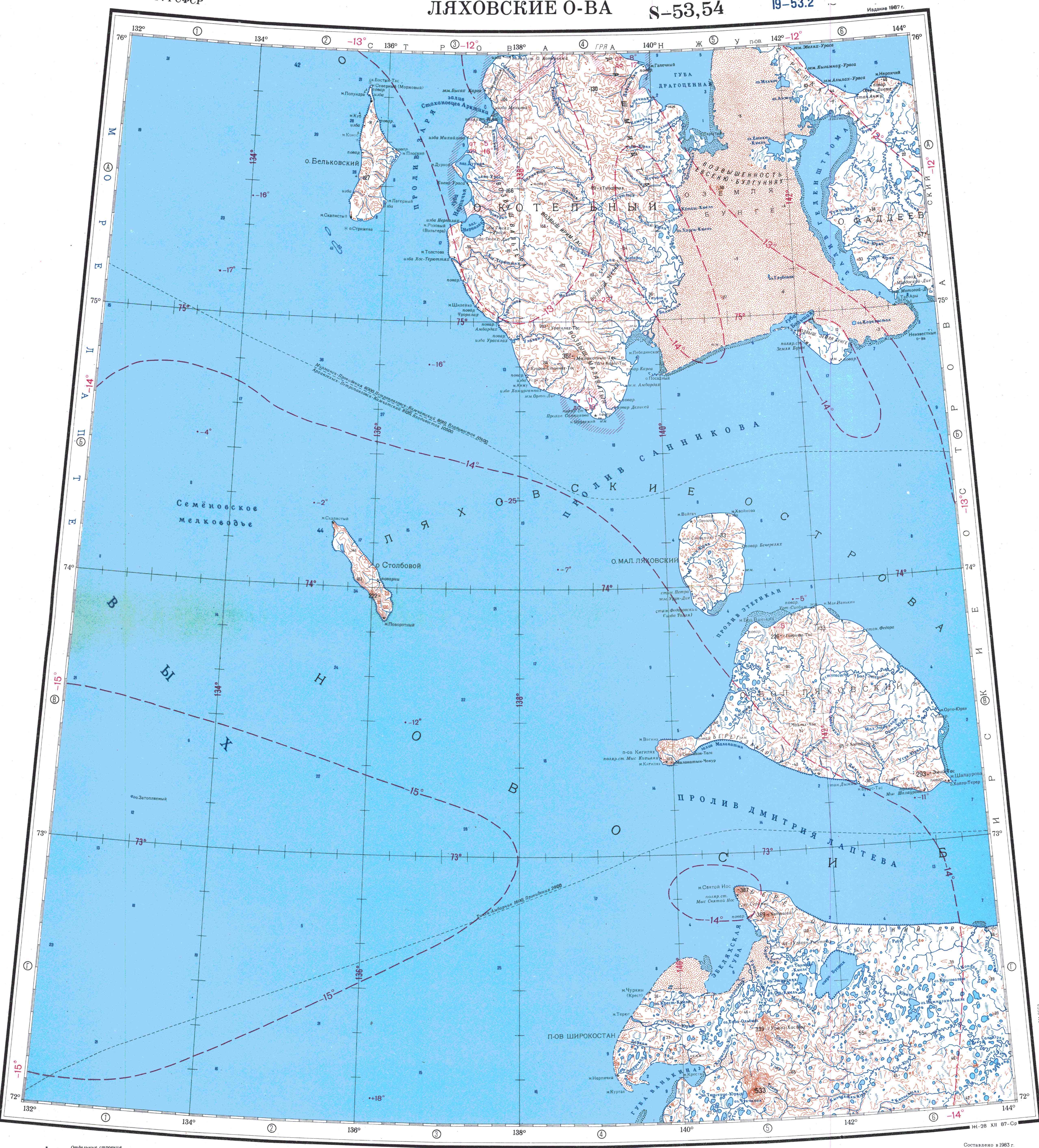
- ^ "S-53_54 Topographic Chart (in Russian)". Retrieved 30 May 2022.
This Sakha Republic location article is a stub. You can help Wikipedia by expanding it. |
Categories:
- Pages using gadget WikiMiniAtlas
- CS1 Russian-language sources (ru)
- Coordinates on Wikidata
- Articles using infobox body of water without alt
- Articles using infobox body of water without pushpin map alt
- Articles using infobox body of water without image bathymetry
- Articles containing Russian-language text
- Articles containing Yakut-language text
- Lakes of the Sakha Republic
- East Siberian Lowland
- All stub articles
- Sakha Republic geography stubs