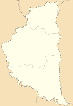
Kolyndiany
Jump to navigation
Jump to search
Kolyndiany
Колиндяни | |
|---|---|
 | |
| Coordinates: 48°57′55″N 25°56′54″E / 48.96528°N 25.94833°E | |
| Country | |
| Oblast | |
| Raion | Chortkiv Raion |
| Hromada | Kolyndiany Hromada |
| Population (2018) | |
| • Total | 1,652[1] |
| Time zone | UTC+2 (EET) |
| • Summer (DST) | UTC+3 (EEST) |
| Postal code | 48552 |
Kolyndiany (Ukrainian: Колиндяни, Polish: Kolędziany) is a village in Ukraine, Ternopil Oblast, Chortkiv Raion, Kolyndiany rural hromada.
History
The first written mention is from 1444.[2]
In the XV century, the Stamenski nobles built a castle, which was rebuilt into a palace in 1840.[2]
Since 29 July 2015, it has been the center of the Kolyndiany rural hromada.[3]
Religion
- Saint Nicholas church (OCU, brick, 1889)[2]
- Saint Nicholas church (UGCC, 2009)[2]
- Church (RCC, early XX century)[2]
Chapels
- one on the site of the house where Yosyf Yosafat Bilan lived and worked[2]
- two chapels in honor of the Independence of Ukraine (1994, brick)[2]
People from Kolyndiany
- Yosyf Bilan, priest of the UGCC, a Basilian, and a long-term prisoner of communist camps[2]
References
- ^ "Відповідь Чортківської РДА на інформаційний запит №01-1026 від 9 липня 2018 року". Archived from the original on 2018-08-23. Retrieved 2019-01-04.
- ^ a b c d e f g h (in Ukrainian) Віктор Уніят, Мар'ян Федечко, Колиндяни // Ternopil region. History of cities and villages: in 3 v. / Ternopil: "Terno-graph", 2014, V. 3: М—Ш, S. 478—479. — ISBN 978-966-457-246-7.
- ^ ВВРУ, 2019, № 1, s. 36.
Categories:
- Pages using gadget WikiMiniAtlas
- Articles with Ukrainian-language sources (uk)
- Articles with short description
- Short description is different from Wikidata
- Coordinates on Wikidata
- Articles containing Ukrainian-language text
- Articles containing Polish-language text
- Articles with J9U identifiers
- Articles with EMU identifiers
- Kolyndiany rural hromada
- Villages in Chortkiv Raion


