Kjerulfbreen
Jump to navigation
Jump to search
| Kjerulf Glacier | |
|---|---|
| Kjerulfbreen | |
| Location | Oscar II Land Spitsbergen, Svalbard |
| Coordinates | 78°17′56″N 13°38′24″E / 78.298836°N 13.639909°E |
| Length | 7.5 km (4.7 mi) |
| Terminus | Trygghamna, Isfjorden Greenland Sea |
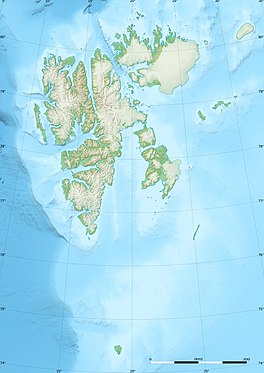
Kjerulfbreen (Kjerulf Glacier) is a glacier in Oscar II Land at Spitsbergen, Svalbard. It has a length of about 7.5 kilometers, and is debouching into the Trygghamna bay at the northern side of Isfjorden. The glacier is named after Norwegian geologist Theodor Kjerulf.[1][2]
See also
References
- ^ "Kjerulfbreen (Svalbard)". Norwegian Polar Institute. Retrieved 11 October 2019.
- ^ Arctic Pilot: Sailing directions Svalbard–Jan Mayen. Vol. 7. Stavanger: The Norwegian Hydrographic Service and The Norwegian Polar Institute. 1988. p. 222. ISBN 82-90653-06-9.
