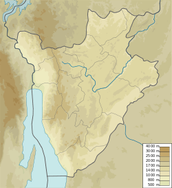
Giteranyi
Jump to navigation
Jump to search
Giteranyi | |
|---|---|
settlement | |
| Coordinates: 2°31′02″S 30°27′31″E / 2.5172828°S 30.4586140°E | |
| Country | |
| Province | Muyinga Province |
| Commune | Commune of Giteranyi |
| Time zone | UTC+2 (Central Africa Time) |
Giteranyi is a community in Muyinga Province, Burundi. It is the capital of the Commune of Giteranyi.
Location
Giteranyi is on the RP65 road to the north of Mukoni and south of Ruzo. It is near the border with Tanzania. A road leads east from Giteranyi through Makombe to Mugoma in Tanzania.[1] The Köppen climate classification is: Aw: Tropical savanna, wet.[2]
Facilities
Giteranyi is home to the Giteranyi Hospital[3] and Giteranyi Health District Office.[4]
References
Sources
- "Burundi : Inauguration de l'Hôpital de Giteranyi à Muyinga", AGnews (in French), 11 July 2017, retrieved 2024-07-07
- "Giteranyi, Muyinga Province, Burundi", Mindat, retrieved 2024-07-07
- "Node: Giteranyi (3084743284)", OpenStreetMap, retrieved 2024-07-07
- Nkurunziza, Dieudonné (18 November 2021), Le district sanitaire de Giteranyi vient de se doter d'une nouvelle infrastructure (in French), RTN: Radio Télévision Nationale du Burundi, retrieved 2024-07-07
