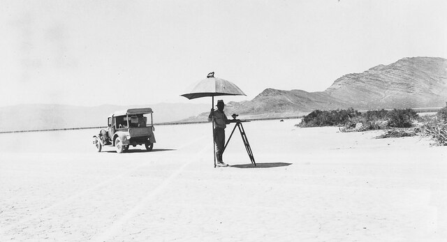
File:Mapping the North Half of Lovelock One Degree Quadrangle in the Desert Area Near Jungo, Nevada, 1 August 1931.tiff
Jump to navigation
Jump to search

Size of this JPG preview of this TIF file: 800 × 433 pixels. Other resolutions: 320 × 173 pixels | 640 × 347 pixels | 1,217 × 659 pixels.
Original file (1,217 × 659 pixels, file size: 791 KB, MIME type: image/tiff)
File history
Click on a date/time to view the file as it appeared at that time.
| Date/Time | Thumbnail | Dimensions | User | Comment | |
|---|---|---|---|---|---|
| current | 19:14, 3 January 2016 |  | 1,217 × 659 (791 KB) | commons>Cxbrx | User created page with UploadWizard |
File usage
There are no pages that use this file.