Anderson Mountain
Jump to navigation
Jump to search
| Anderson Mountain | |
|---|---|
| Highest point | |
| Elevation | 1,467 ft (447 m)[1] |
| Coordinates | 37°37′42″N 90°35′58″W / 37.6283838°N 90.5995670°W[1] |
| Geography | |
| Location | Iron County, Missouri, U.S. |
| Parent range | Saint Francois Mountains |
| Topo map | USGS Iron Mountain Lake |
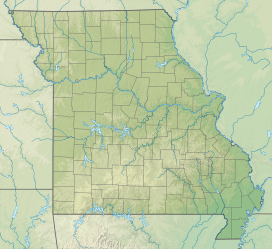
Anderson Mountain is a summit two miles (3.2 km) east of Pilot Knob in Iron County, Missouri, in the United States. The summit has an elevation of 1,467 feet (447 m).[1]
Anderson Mountain has the name of the local Anderson family.[2]
References
- ^ a b c "Anderson Mountain". Geographic Names Information System. United States Geological Survey, United States Department of the Interior.
- ^ "Iron County Place Names, 1928–1945". State Historical Society of Missouri. Retrieved January 10, 2019.
