File:Map of the Caribbean - Lesser Antilles.png
Jump to navigation
Jump to search
No higher resolution available.
Map_of_the_Caribbean_-_Lesser_Antilles.png (800 × 565 pixels, file size: 33 KB, MIME type: image/png)
File history
Click on a date/time to view the file as it appeared at that time.
| Date/Time | Thumbnail | Dimensions | User | Comment | |
|---|---|---|---|---|---|
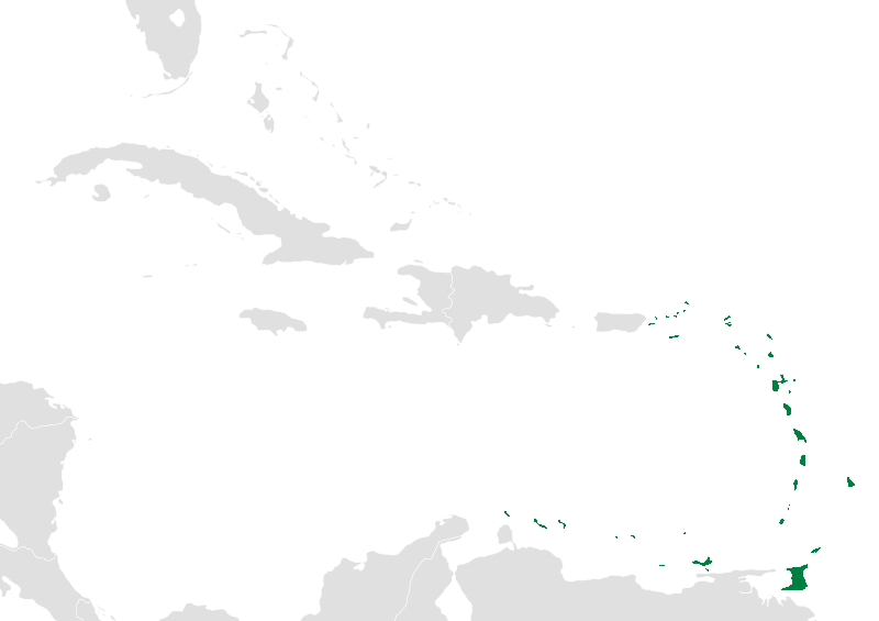
| current | 04:39, 19 November 2010 | | 800 × 565 (33 KB) | commons>Uniongreen113 | {{Information |Description={{en|1=Map of the Caribbean nations. {{validSVG}}}} Map of the caribbean with the Lesser Antilles highlighted in green. |Source=*File:BlankMap-Caribbean.svg |Date=2010-11-19 04:38 (UTC) |Author=*[[:File:B |
File usage
There are no pages that use this file.