Bikoro
Bikoro | |
|---|---|
 Bikoro Location in Democratic Republic of the Congo | |
| Coordinates: 0°45′S 18°07′E / 0.750°S 18.117°E | |
| Country | |
| Province | Équateur |
| Territory | Bikoro |
| Population (2012) | |
| • Total | 7,426 |
Bikoro is a market town in Équateur Province in the Democratic Republic of the Congo, lying on Lake Tumba, south of Mbandaka.
It is the administrative center of Bikoro Territory.[1] In 2012, the estimated population was 7,426.[2]
Bikoro was the episcopal see of the Roman Catholic Diocese of Bikoro (which started as a mission sui iuris in 1931) until its suppression in 1975.
In 2018, Bikoro was affected by an outbreak of Ebola virus disease, the ninth in the DRC's history.[3]
Trivia
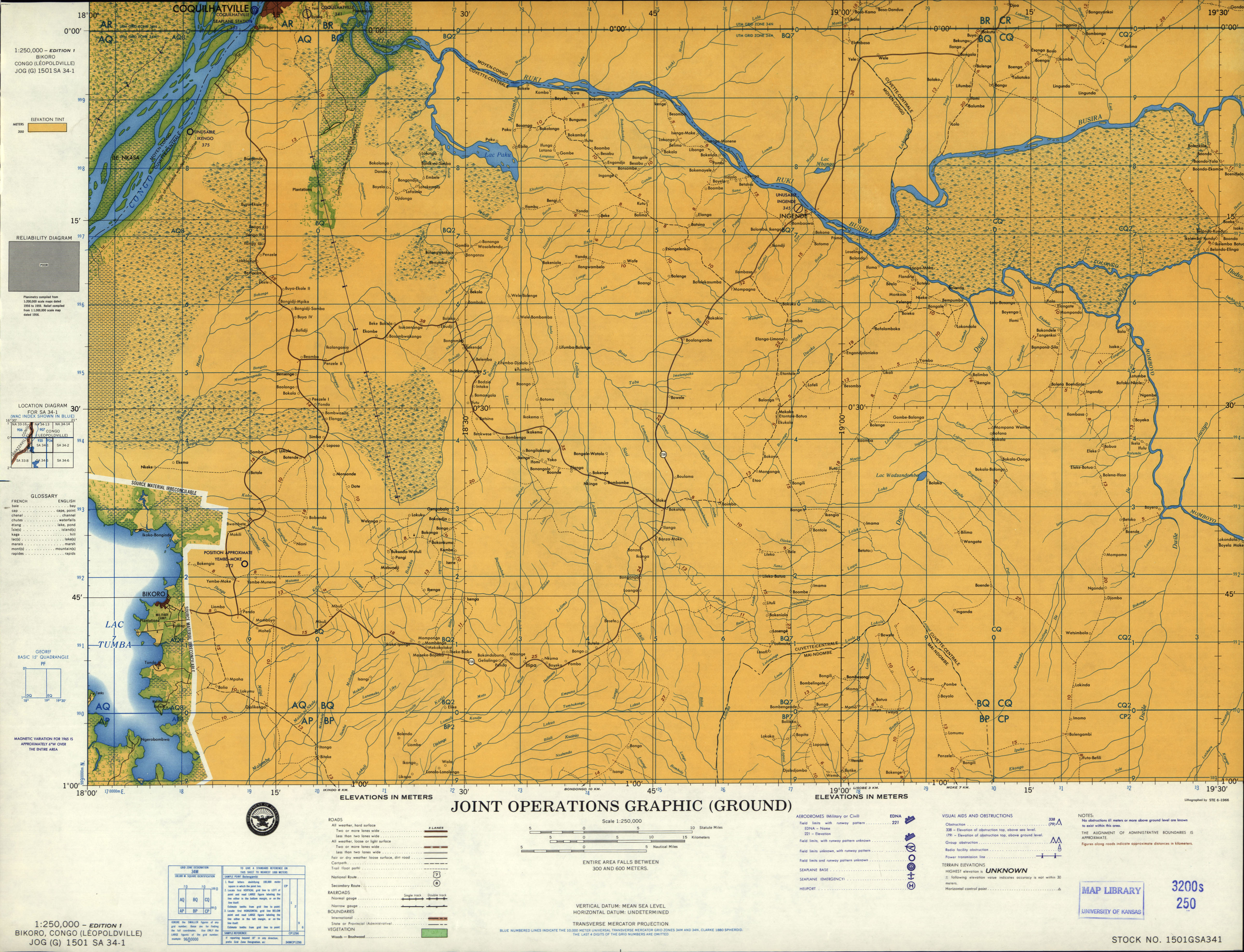
There is an airfield called Bikoro Airport found in official registers with the ICAO-Code FZBC. Bikoro never had an airport as various old maps and aeronautical charts confirm. It is instead served by the airfield of Yembe-Moke (FZEM) located 7 miles north-east of the town.[4] Additionally, the third letter "B" in the code indicates that the airport is located the former province of Bandundu. Bikoro is located in the former province of Equateur. It is therefore assumed that FZBC is actually the ICAO code intended for Bokoro airport that has been wrongly assigned due to a spelling error.
References
- ^ Blaes, X. (October 2008). "Découpage administratif de la République Démocratique du Congo" (PDF). PNUD-SIG. Archived from the original (PDF) on 2010-04-01. Retrieved 2011-12-09.
- ^ "Bikoro". World Gazetteer. Archived from the original on February 10, 2013. Retrieved 2012-02-01.
- ^ McKirdy, Euan. "Ebola outbreak in Congo enters 'new phase' as it spreads to large city". CNN. Retrieved 2018-05-19.
- ^ "JOG 1501 SA 34-01". U.S. Defense Intelligence Agency. Retrieved 2019-04-06.
0°45′S 18°07′E / 0.750°S 18.117°E
This Democratic Republic of the Congo location article is a stub. You can help Wikipedia by expanding it. |