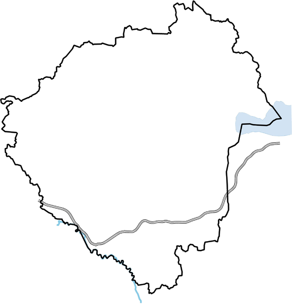
File:Zala location map.PNG
Jump to navigation
Jump to search

Size of this preview: 576 × 600 pixels. Other resolutions: 230 × 240 pixels | 461 × 480 pixels | 738 × 768 pixels | 983 × 1,024 pixels | 2,471 × 2,573 pixels.
Original file (2,471 × 2,573 pixels, file size: 585 KB, MIME type: image/png)
File history
Click on a date/time to view the file as it appeared at that time.
| Date/Time | Thumbnail | Dimensions | User | Comment | |
|---|---|---|---|---|---|
| current | 09:04, 4 February 2010 | | 2,471 × 2,573 (585 KB) | commons>Texaner | {{Information |Description={{en|1=Location map of Zala county in Hungary}} {{hu|1=Zala megye vaktérképe}} |Source={{own}} |Author=Texaner |Date=2010-02-04 |Permission= |other_versions= }} Category:Locator maps of Hungary |
File usage
There are no pages that use this file.