File:World RR Gauge Map.agr.png
Jump to navigation
Jump to search

Size of this preview: 800 × 446 pixels. Other resolutions: 320 × 178 pixels | 640 × 357 pixels | 1,024 × 571 pixels | 1,280 × 714 pixels | 2,560 × 1,428 pixels | 3,783 × 2,110 pixels.
Original file (3,783 × 2,110 pixels, file size: 4.11 MB, MIME type: image/png)
File history
Click on a date/time to view the file as it appeared at that time.
| Date/Time | Thumbnail | Dimensions | User | Comment | |
|---|---|---|---|---|---|
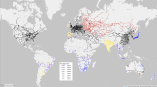
| current | 15:02, 22 June 2022 | | 3,783 × 2,110 (4.11 MB) | commons>ArnoldReinhold | {{OpenStreetMap |location = Planet Earth |description = Map of the world's railways, color coded to show rail gauge, the distance between tracks. |date = June 20, 2022 |authors = OpenStreetMap contributors, ArnoldReinhold }} |
File usage
There are no pages that use this file.