File:Wfm southampton island.jpg
Jump to navigation
Jump to search

Size of this preview: 800 × 593 pixels. Other resolutions: 320 × 237 pixels | 640 × 474 pixels | 1,024 × 758 pixels | 1,280 × 948 pixels.
Original file (1,280 × 948 pixels, file size: 144 KB, MIME type: image/jpeg)
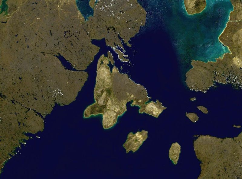
Southampton Island in northern Canada.
NASA blue pearl data, collected using NASA World Wind.
| This image is in the public domain because it is a screenshot from NASA’s globe software World Wind using a public domain layer, such as Blue Marble, MODIS, Landsat, SRTM, USGS or GLOBE.
|
 |
| Annotations | This image is annotated: View the annotations at Commons |
File history
Click on a date/time to view the file as it appeared at that time.
| Date/Time | Thumbnail | Dimensions | User | Comment | |
|---|---|---|---|---|---|
| current | 16:02, 9 April 2006 | | 1,280 × 948 (144 KB) | commons>Finlay McWalter | Southampton Island in northern Canada. NASA blue pearl data, collected using NASA World Wind. {{PD-USGov-NASA}} Category:Nunavut Category:Satellite images of islands Category:Satellite pictures of Canada |
File usage
There are no pages that use this file.