File:West Somerset UK local election 2011 map.svg
Jump to navigation
Jump to search

Size of this PNG preview of this SVG file: 800 × 449 pixels. Other resolutions: 320 × 179 pixels | 640 × 359 pixels | 1,024 × 574 pixels | 1,280 × 718 pixels | 2,560 × 1,435 pixels | 1,425 × 799 pixels.
Original file (SVG file, nominally 1,425 × 799 pixels, file size: 653 KB)
File history
Click on a date/time to view the file as it appeared at that time.
| Date/Time | Thumbnail | Dimensions | User | Comment | |
|---|---|---|---|---|---|
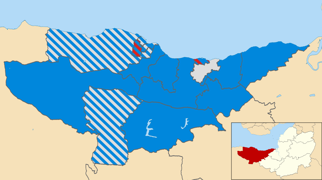
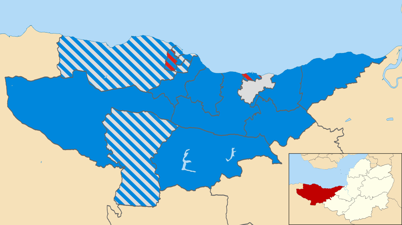
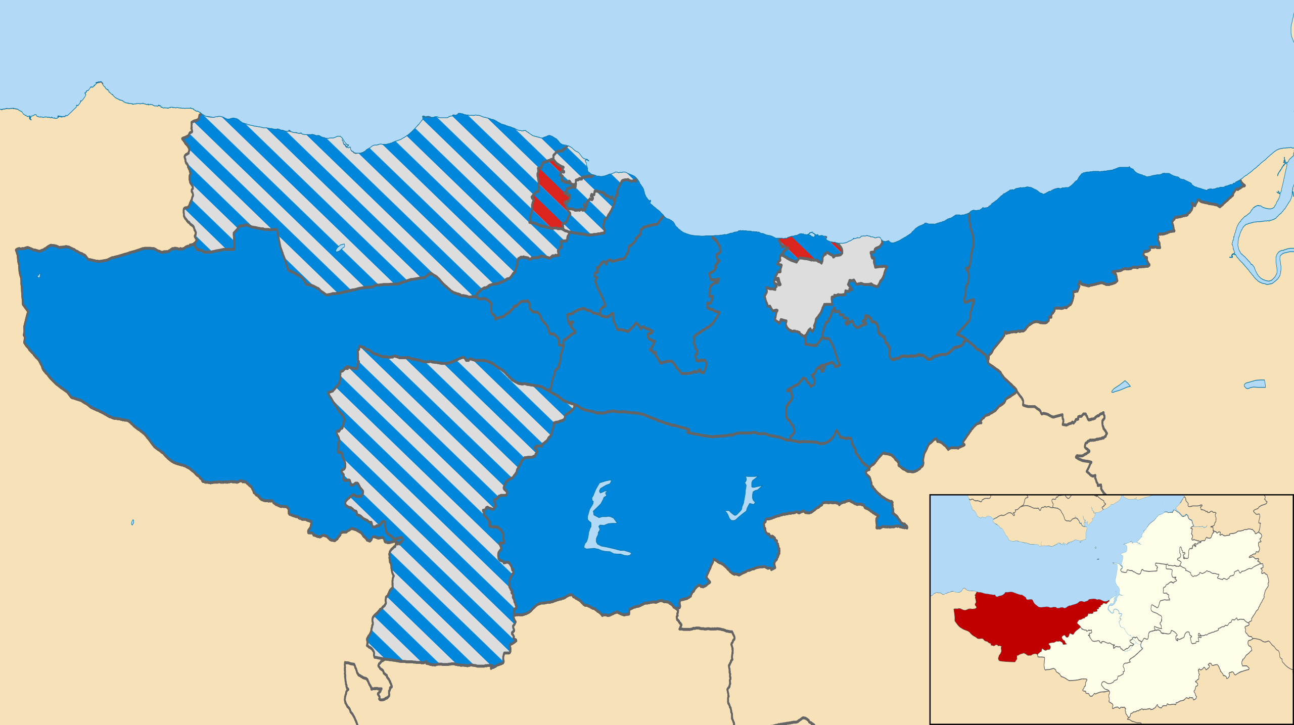
| current | 18:44, 29 November 2011 | | 1,425 × 799 (653 KB) | commons>Davewild | == {{int:filedesc}} == {{Information |Description=Map of West Somerset, Somerset, UK showing the results of the 2011 local election. Colours: {{legend|#0087dc|Conservative}} {{legend|#dddddd|Independents}} {{legend|#dc241f|Labour}} Striped wards have mi |
File usage
There are no pages that use this file.