File:Viking Ring Fortresses Map.png
Jump to navigation
Jump to search
Size of this preview: 642 × 599 pixels. Other resolutions: 257 × 240 pixels | 514 × 480 pixels | 750 × 700 pixels.
Original file (750 × 700 pixels, file size: 34 KB, MIME type: image/png)
File history
Click on a date/time to view the file as it appeared at that time.
| Date/Time | Thumbnail | Dimensions | User | Comment | |
|---|---|---|---|---|---|
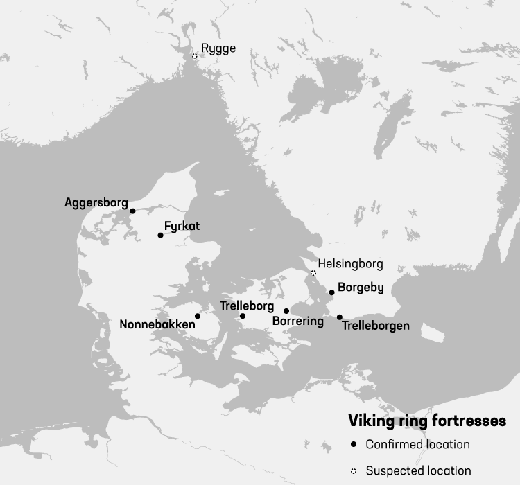
| current | 11:06, 13 July 2017 | | 750 × 700 (34 KB) | commons>Redgeographics | {{subst:Upload marker added by en.wp UW}} {{Information |Description = {{en|Map showing locations of Viking ring fortresses}} |Source = created map from scratch using free datasources |Date = 2017-07-13 |Author = Redgeographics... |
File usage
There are no pages that use this file.