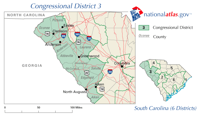
File:United States House of Representatives, South Carolina District 3 map.png
Jump to navigation
Jump to search
No higher resolution available.
United_States_House_of_Representatives,_South_Carolina_District_3_map.png (648 × 379 pixels, file size: 34 KB, MIME type: image/png)
File history
Click on a date/time to view the file as it appeared at that time.
| Date/Time | Thumbnail | Dimensions | User | Comment | |
|---|---|---|---|---|---|
| current | 15:40, 25 July 2009 | | 648 × 379 (34 KB) | commons>File Upload Bot (Magnus Manske) | {{BotMoveToCommons|en.wikipedia|year={{subst:CURRENTYEAR}}|month={{subst:CURRENTMONTHNAME}}|day={{subst:CURRENTDAY}}}} {{Information |Description={{en|The map is from [http://nationalatlas.gov/printable/congress.html#sc nationalatlas.gov], specifically [ |
File usage
There are no pages that use this file.