File:Umatilla Indian Reservation map.png
Jump to navigation
Jump to search
No higher resolution available.
Umatilla_Indian_Reservation_map.png (794 × 542 pixels, file size: 18 KB, MIME type: image/png)
File history
Click on a date/time to view the file as it appeared at that time.
| Date/Time | Thumbnail | Dimensions | User | Comment | |
|---|---|---|---|---|---|
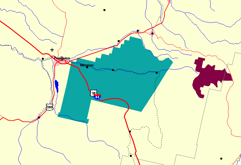
| current | 16:38, 19 September 2009 | | 794 × 542 (18 KB) | commons>Peteforsyth | {{Information |Description={{en|1=Map of Umatilla Indian Reservation and vicinity}} |Source=http://nationalatlas.gov/natlas/Natlasstart.asp?AppCmd=CUSTOM&mLeft=-1463542.35271811&mBottom=207028.2604466&mRight=-1383241.65436944&mTop=264467.958836208&mWidth= |
File usage
There are no pages that use this file.