File:US West map.png
Jump to navigation
Jump to search
Size of this preview: 800 × 520 pixels. Other resolutions: 320 × 208 pixels | 640 × 416 pixels | 1,024 × 665 pixels | 1,513 × 983 pixels.
Original file (1,513 × 983 pixels, file size: 65 KB, MIME type: image/png)
File history
Click on a date/time to view the file as it appeared at that time.
| Date/Time | Thumbnail | Dimensions | User | Comment | |
|---|---|---|---|---|---|
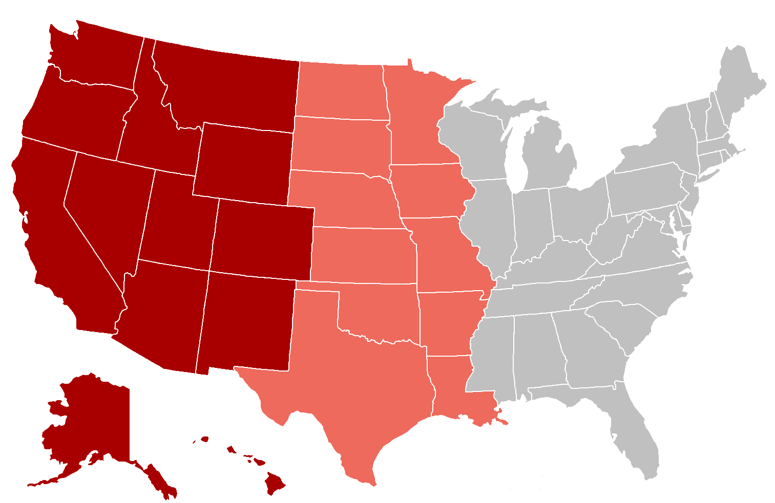
| current | 23:17, 14 March 2010 | | 1,513 × 983 (65 KB) | commons>Grayshi | {{Information |Description={{en|1=A map of the western US, based on File:120px-US map-West.png. Red states are the official "West" designated by the Census Bureau while the pink states are sometimes considered or once considered to be part of the Wes |
File usage
There are no pages that use this file.