File:USA Colorado location map.svg
Jump to navigation
Jump to search

Size of this PNG preview of this SVG file: 800 × 587 pixels. Other resolutions: 320 × 235 pixels | 640 × 470 pixels | 1,024 × 751 pixels | 1,280 × 939 pixels | 2,560 × 1,879 pixels | 1,067 × 783 pixels.
Original file (SVG file, nominally 1,067 × 783 pixels, file size: 183 KB)
File history
Click on a date/time to view the file as it appeared at that time.
| Date/Time | Thumbnail | Dimensions | User | Comment | |
|---|---|---|---|---|---|
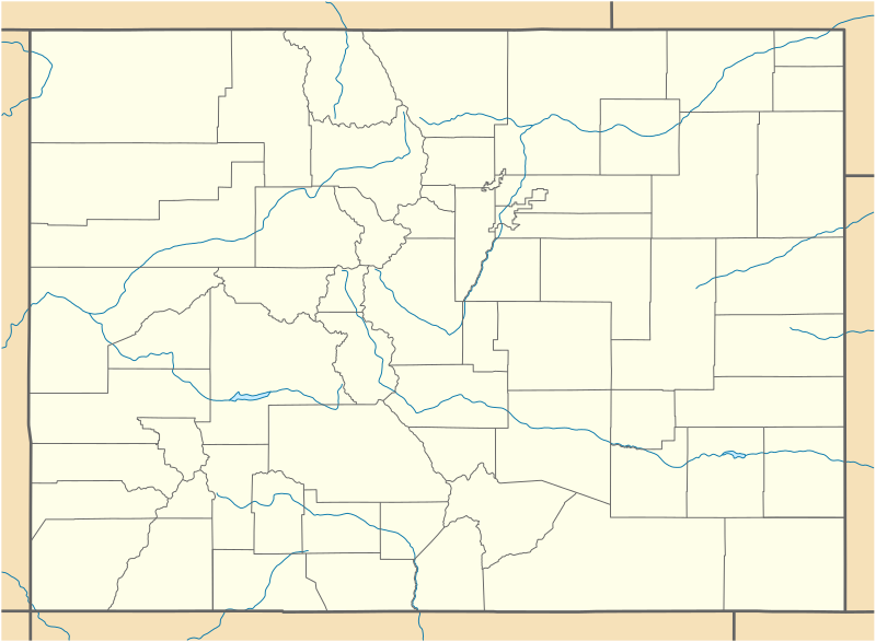
| current | 18:06, 12 June 2009 | | 1,067 × 783 (183 KB) | commons>NordNordWest | {{Information |Description= {{de|Positionskarte von Colorado, USA}} Quadratische Plattkarte, N-S-Streckung 125 %. Geographische Begrenzung der Karte: * N: 41.2° N * S: 36.8° N * W: 109.3° W * O: 101.8° W {{en|Location map |
File usage
There are no pages that use this file.