File:Txu-oclc-6595921-nc30-15 crop southwest.jpg
Jump to navigation
Jump to search

Size of this preview: 800 × 427 pixels. Other resolutions: 320 × 171 pixels | 640 × 341 pixels | 1,341 × 715 pixels.
Original file (1,341 × 715 pixels, file size: 1.36 MB, MIME type: image/jpeg)
File history
Click on a date/time to view the file as it appeared at that time.
| Date/Time | Thumbnail | Dimensions | User | Comment | |
|---|---|---|---|---|---|
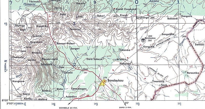
| current | 01:22, 13 September 2008 | | 1,341 × 715 (1.36 MB) | commons>T L Miles | {{Information |Description={{en|1=US Army map of West Africa, specifically the area along northern border of modern Ghana and Cote d'Ivoire (then Gold Coast Colony and French West Africa).}} |Source=*Image:Txu-oclc-6595921-nc30-15.jpg |Date=2008-09- |
File usage
There are no pages that use this file.