File:Trinidad and Tobago OnEarth WMS.png
Jump to navigation
Jump to search

Size of this preview: 644 × 600 pixels. Other resolutions: 258 × 240 pixels | 515 × 480 pixels | 825 × 768 pixels | 1,099 × 1,024 pixels | 2,058 × 1,917 pixels.
Original file (2,058 × 1,917 pixels, file size: 4.03 MB, MIME type: image/png)
File history
Click on a date/time to view the file as it appeared at that time.
| Date/Time | Thumbnail | Dimensions | User | Comment | |
|---|---|---|---|---|---|
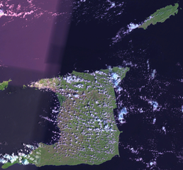
| current | 16:36, 1 May 2006 | | 2,058 × 1,917 (4.03 MB) | commons>Hautala | {{PD-WorldWind}} Satellite image of Trinidad and Tobago. Screenshot from NASA World Wind, OnEarth WMS layer. Category:Satellite images of countries |
File usage
There are no pages that use this file.