File:The Armenian plateau near Mount Masis.jpg
Jump to navigation
Jump to search
Size of this preview: 800 × 533 pixels. Other resolutions: 320 × 213 pixels | 640 × 427 pixels | 1,024 × 683 pixels | 1,280 × 853 pixels | 2,304 × 1,536 pixels.
Original file (2,304 × 1,536 pixels, file size: 616 KB, MIME type: image/jpeg)
Summary
| Description |
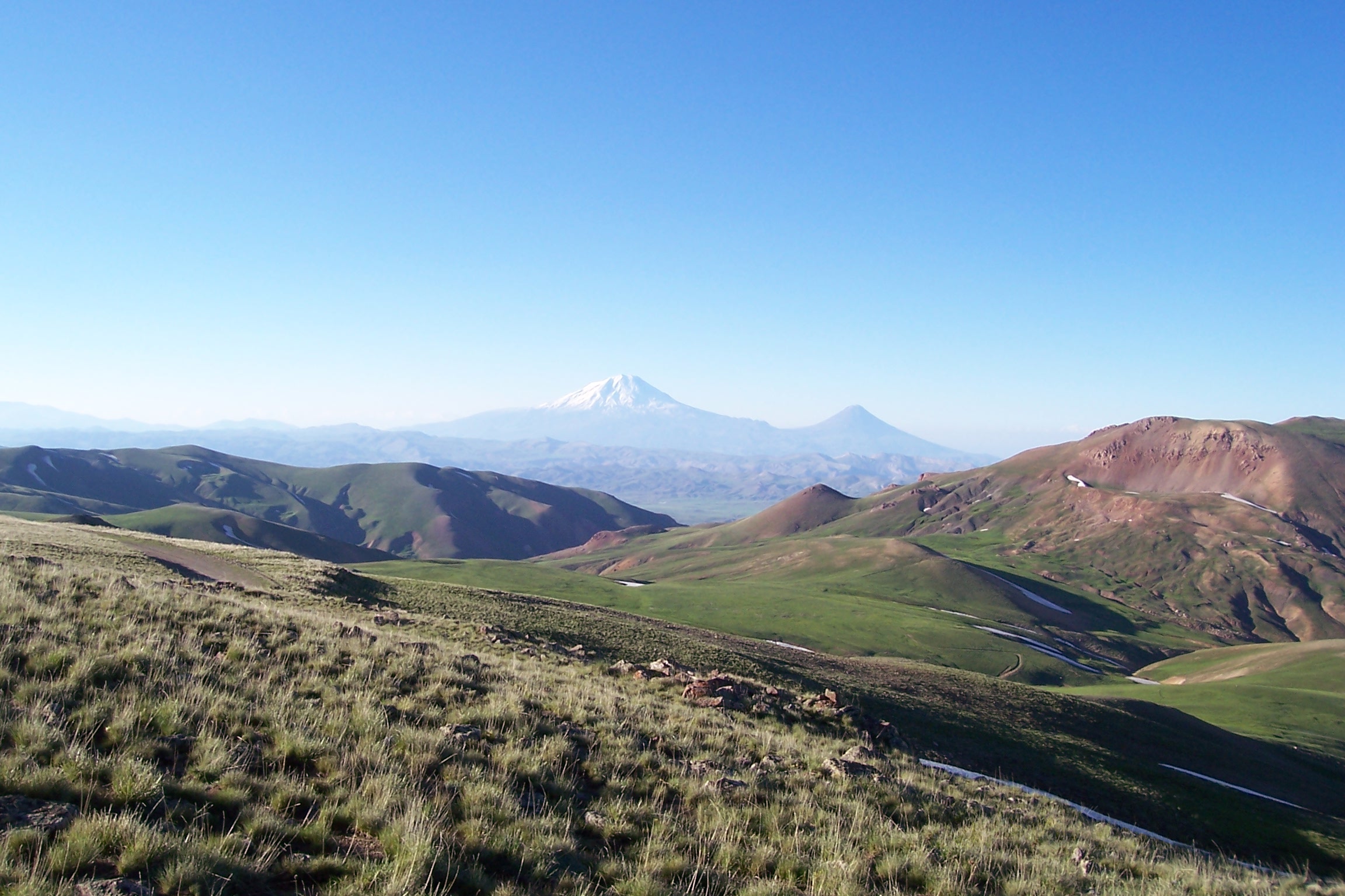
English: A view of the mountains in the Armenian plateau at the Turkey-Iran border. In the center background is Mount Ararat. |
| Date | |
| Source | Originally posted to Panoramio as Büyük ve Küçük Ağrı Dağı |
| Author | ahmet soyak |
| Camera location | | View this and other nearby images on: OpenStreetMap |
|---|
Licensing
This file is licensed under the Creative Commons Attribution 3.0 Unported license.
- You are free:
- to share – to copy, distribute and transmit the work
- to remix – to adapt the work
- Under the following conditions:
- attribution – You must give appropriate credit, provide a link to the license, and indicate if changes were made. You may do so in any reasonable manner, but not in any way that suggests the licensor endorses you or your use.
| This image, which was originally posted to Panoramio, was reviewed on 05-24-2010 by the administrator or trusted user Leoboudv, who confirmed that it was available on Panoramio under the above license on that date. |
File history
Click on a date/time to view the file as it appeared at that time.
| Date/Time | Thumbnail | Dimensions | User | Comment | |
|---|---|---|---|---|---|
| current | 02:40, 31 March 2012 | | 2,304 × 1,536 (616 KB) | commons>Isarra | Remove watermark date |
File usage
There are no pages that use this file.