File:Texas counties map.png
Jump to navigation
Jump to search
Size of this preview: 628 × 599 pixels. Other resolutions: 251 × 240 pixels | 503 × 480 pixels | 1,010 × 964 pixels.
Original file (1,010 × 964 pixels, file size: 49 KB, MIME type: image/png)
File history
Click on a date/time to view the file as it appeared at that time.
| Date/Time | Thumbnail | Dimensions | User | Comment | |
|---|---|---|---|---|---|
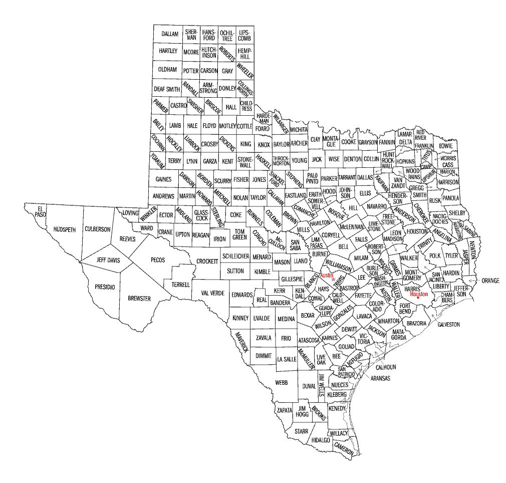
| current | 15:02, 23 April 2010 | | 1,010 × 964 (49 KB) | commons>Buaidh | {{Information |Description={{en|1=A map of the 254 counties of the State of Texas.}} |Source=U.S. government |Author=U.S. government |Date=2010-04-23 |Permission={{OTRS pending|month=April|day=23|year=2010}} |other_versions=Texas_counties_map.gif }} [[Ca |
File usage
There are no pages that use this file.