File:Sydney Areas Map.svg
Jump to navigation
Jump to search

Size of this PNG preview of this SVG file: 600 × 600 pixels. Other resolutions: 240 × 240 pixels | 480 × 480 pixels | 768 × 768 pixels | 1,024 × 1,024 pixels | 2,048 × 2,048 pixels | 850 × 850 pixels.
Original file (SVG file, nominally 850 × 850 pixels, file size: 195 KB)
File history
Click on a date/time to view the file as it appeared at that time.
| Date/Time | Thumbnail | Dimensions | User | Comment | |
|---|---|---|---|---|---|
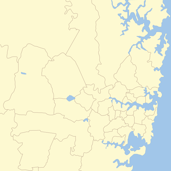
| current | 13:14, 8 January 2011 | | 850 × 850 (195 KB) | commons>Hatgreg | {{Information |Description=== Map of Sydney with Local Government areas borders marked. |Source=*File:New_South_Wales_Local_Government_Areas.svg |Date=2011-01-08 13:12 (UTC) |Author=*File:New_South_Wales_Local_Government_Areas.svg: '''User:Rok |
File usage
There are no pages that use this file.