File:Summit County Ohio and Surrounding Areas School DIstrict Map.jpg
Jump to navigation
Jump to search
Size of this preview: 564 × 599 pixels. Other resolutions: 226 × 240 pixels | 452 × 480 pixels | 640 × 680 pixels.
Original file (640 × 680 pixels, file size: 91 KB, MIME type: image/jpeg)
File history
Click on a date/time to view the file as it appeared at that time.
| Date/Time | Thumbnail | Dimensions | User | Comment | |
|---|---|---|---|---|---|
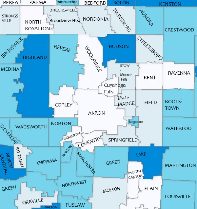
| current | 03:18, 6 June 2013 | | 640 × 680 (91 KB) | commons>Mttorley | {{subst:Upload marker added by en.wp UW}} {{Information |Description = {{en|A Map of School Districts in and around Summit County, Ohio in 2012-2013 school year. The image has blue and white school district borders with district names placed in each d... |
File usage
There are no pages that use this file.